






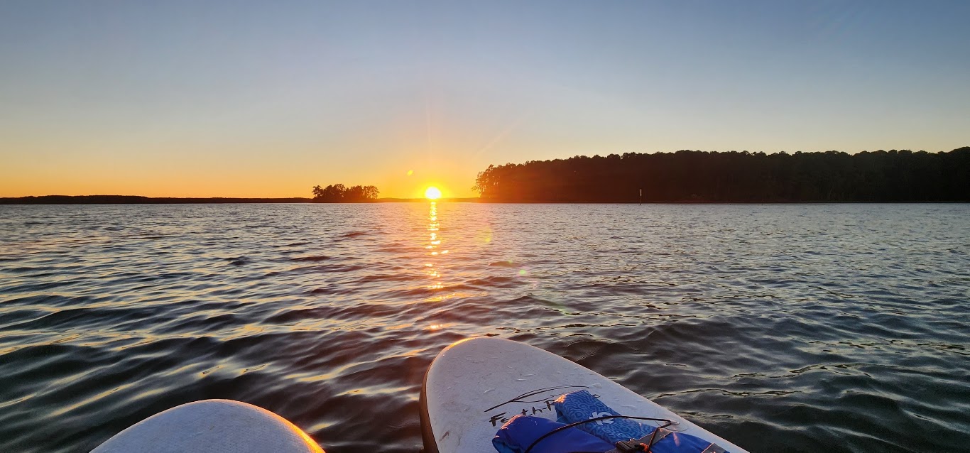
More Adventures
Road trips, museums, gardens, landmarks, hometown memories, and unexpected stops have a dedicated home here.
Choose Your Next R&M Adventure
Every photograph opens a real R&M story, collection, or original album.
Every Adventure That Completes the Journey
Road trips, museums, gardens, landmarks, hometown memories, and unexpected stops have a dedicated home here.
More Adventures Map
The map contains 74 verified locations for 78 stories. Entries without saved coordinates remain in the complete story list, and some stories preserve more than one original photo album.
74 verified pins
Show All Story Links (74)
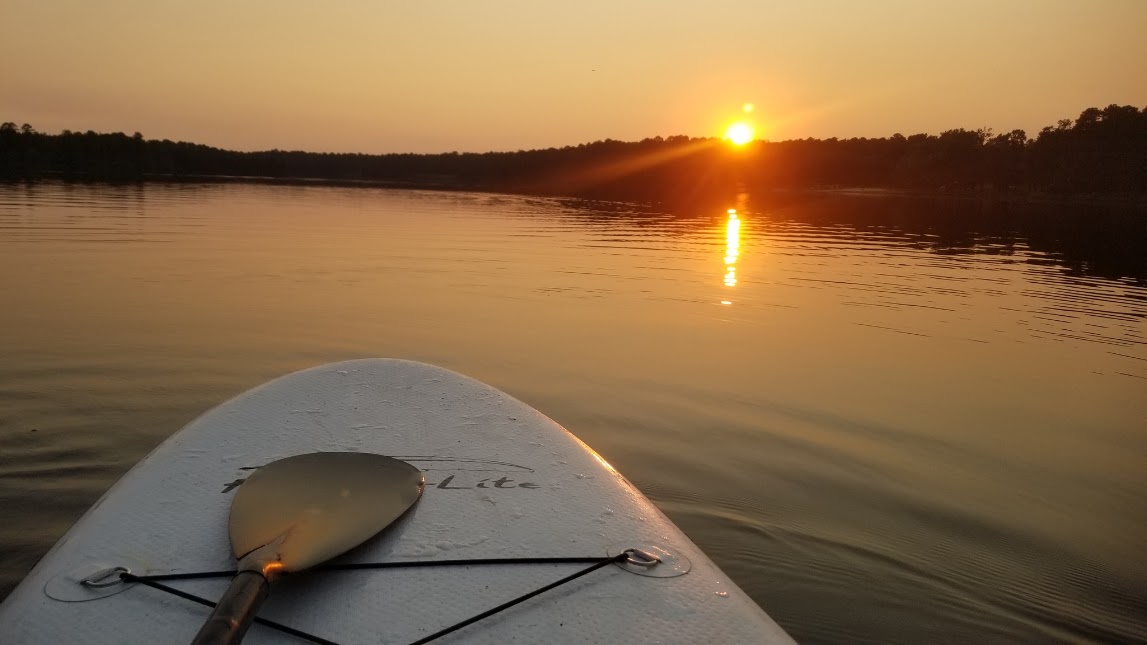
Find a Story
The complete archive stays here. Filters change only what is shown, never the underlying stories or albums.
78 stories shown
More Adventures
Every card appears once in this folder and opens its permanent story page.

2019 Dodge Challenger SXT PlusRead Story →
Where It Is The album follows Ron and Michelle’s 2019 Dodge Challenger SXT Plus through everyday drives, detailed portraits, and travel memories from 2020 through 2023.
Why It Matters A personal road story built around the Challenger that carried its own attitude into years of R&M photographs and memories.
- Location
- R&M Road Trips
- Adventure
- Automotive • Road Trips • Memories
- Photo Date
- May 6, 2020 – March 14, 2023
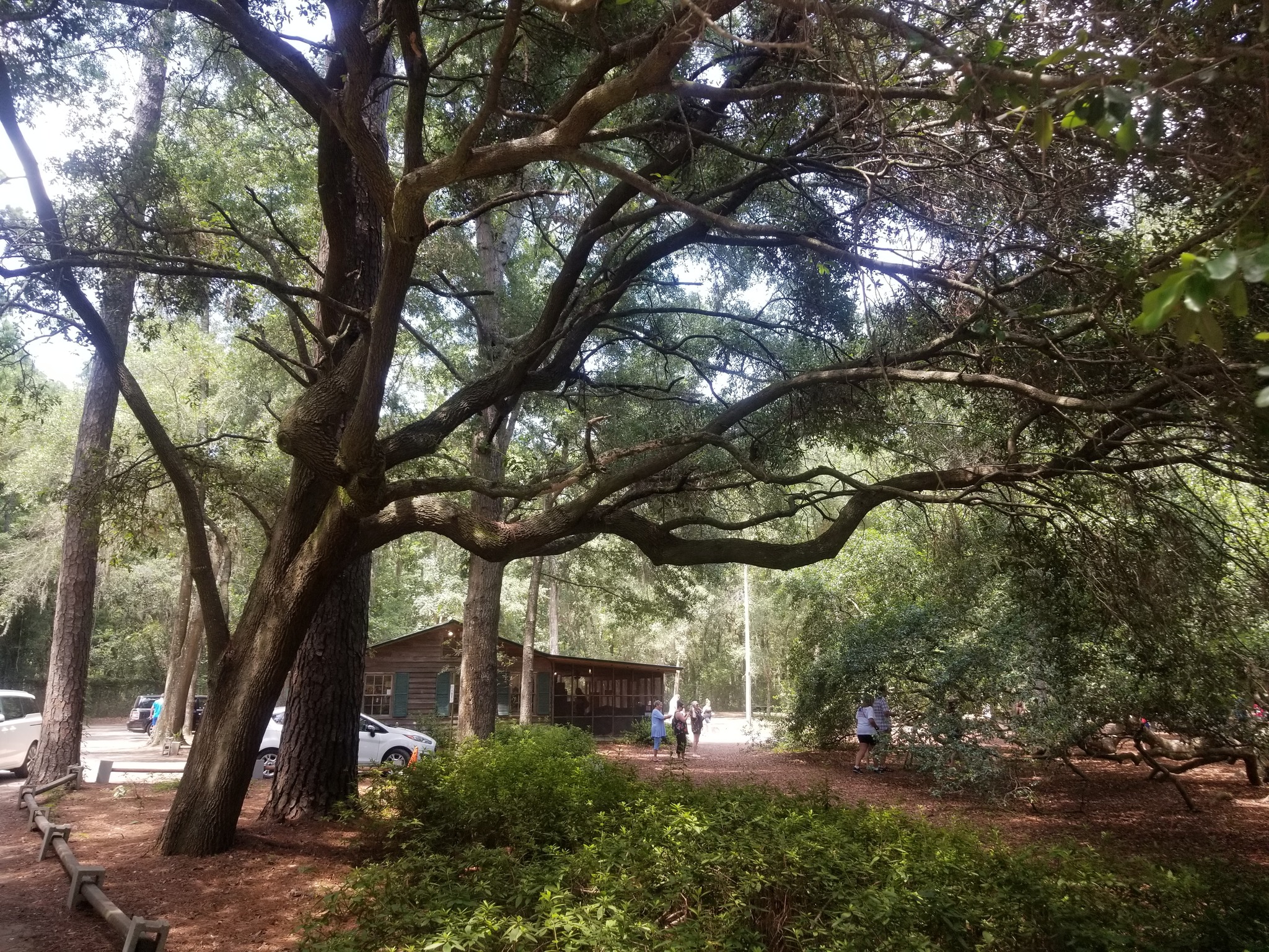
Angel OakRead Story →
Where It Is Angel Oak stands at the center of a City of Charleston public park on Johns Island and is protected as one of the Lowcountry’s best-known living landmarks.
Why It Matters A Lowcountry landmark whose immense trunk, ground-reaching limbs, and broad living canopy can only be understood by walking beneath it.
- Location
- Johns Island • Charleston
- Adventure
- Live Oak • History • Photography
- Photo Dates
- July 14, 2019
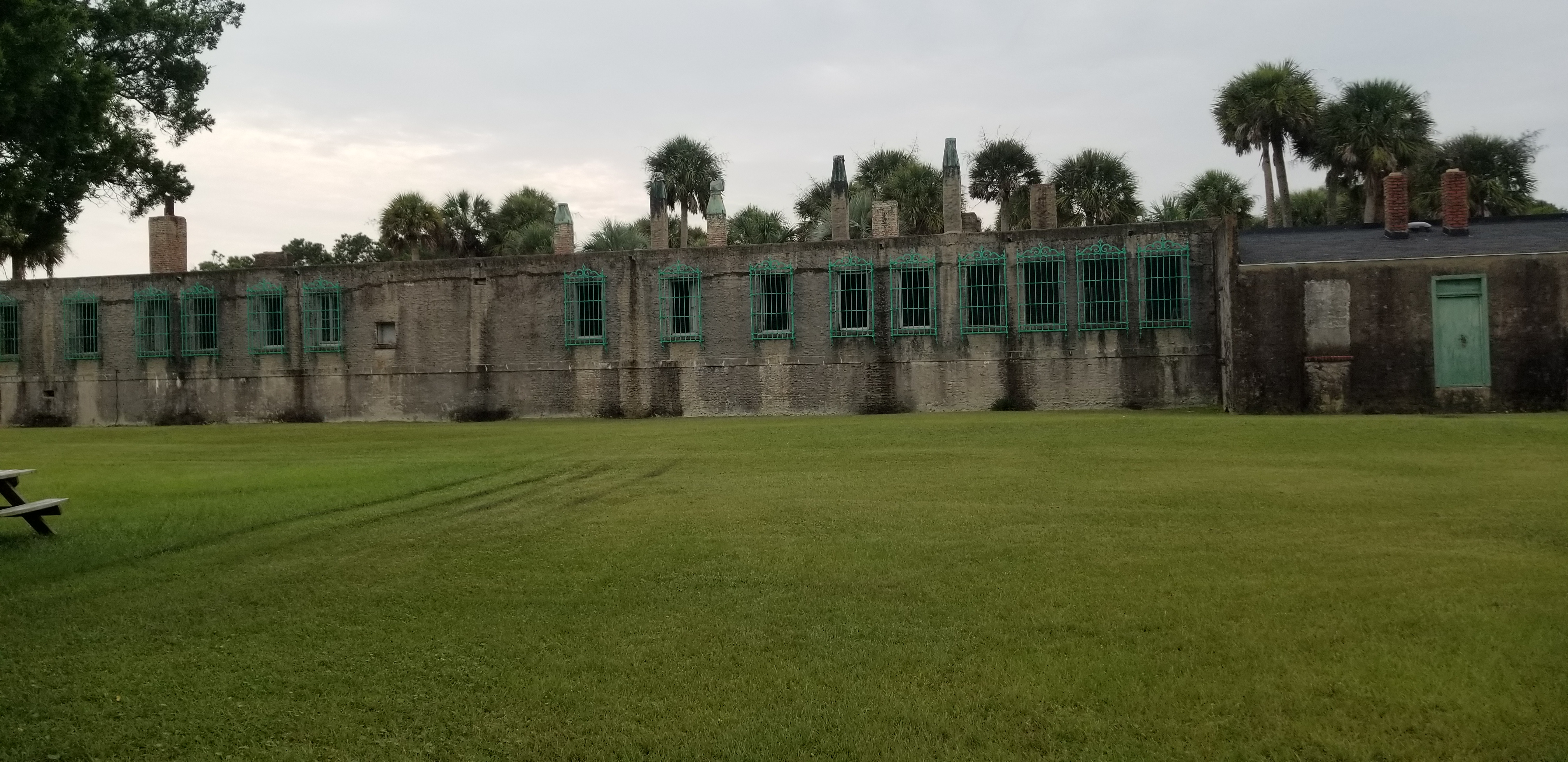
Atalaya CastleRead Story →
Where It Is Atalaya is the former winter home and studio of Archer and Anna Hyatt Huntington, preserved inside Huntington Beach State Park on the South Carolina coast.
Why It Matters A Moorish-inspired coastal home where courtyards, studios, green ironwork, and animal spaces preserve the creative world of the Huntingtons.
- Location
- Murrells Inlet • Huntington Beach State Park
- Adventure
- Architecture • Art • Coastal History
- Photo Dates
- September–October 2020
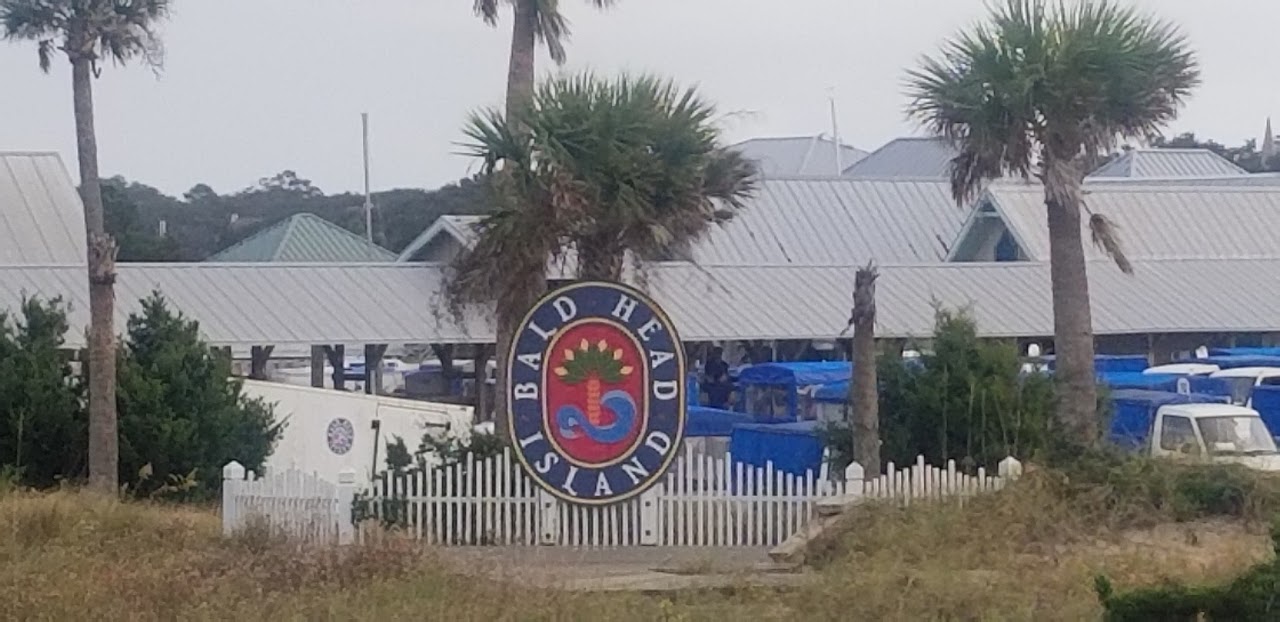
Bald Head IslandRead Story →
Where It Is The island lies about two miles across the Cape Fear River from Southport at the southernmost of North Carolina’s cape islands.
Why It Matters A passenger-ferry island where Old Baldy, maritime forest, marsh, and Atlantic beaches reward an unhurried day.
- Location
- Bald Head Island • North Carolina
- Adventure
- Ferry • Island • Lighthouse
- Album Dates
- November 8, 2020
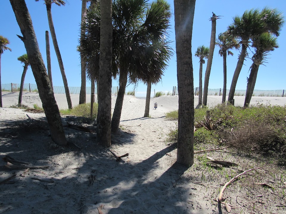
Boneyard Beach at Hunting IslandRead Story →
Where It Is The beach lies within Hunting Island State Park near St. Helena Island, where Atlantic erosion continually reshapes the barrier-island edge.
Why It Matters A focused shoreline story of sculpted driftwood, exposed roots, moving sand, and the natural forces reshaping Hunting Island.
- Location
- Hunting Island • South Carolina
- Adventure
- Beach • Driftwood • Coastal Change
- Photo Date
- September 24, 2021
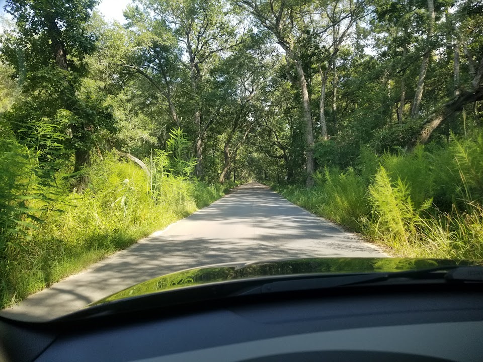
Botany Bay Heritage PreserveRead Story →
Where It Is Botany Bay Plantation Heritage Preserve and Wildlife Management Area lies within the ACE Basin on Edisto Island.
Why It Matters An undeveloped ACE Basin landscape with a low-tide beach walk, wildlife habitat, cultural history, and strict leave-it-there protection.
- Location
- Edisto Island • South Carolina
- Adventure
- Wild Beach • Wildlife • Heritage
- Photo Date
- August 11, 2019 – August 13, 2022
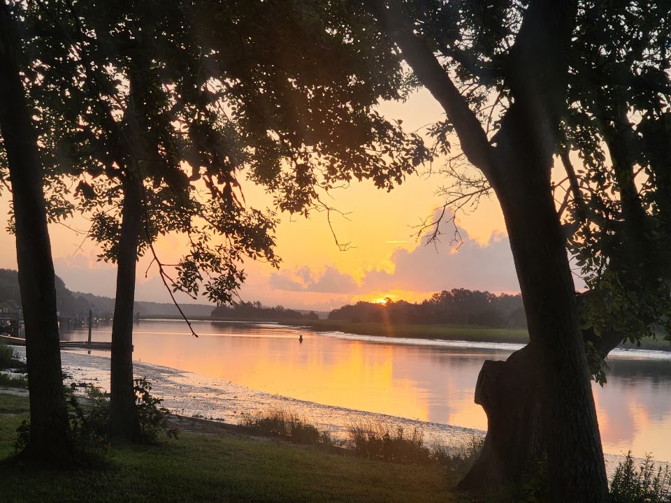
Buck Hall Recreation AreaRead Story →
Where It Is Buck Hall sits in Francis Marion National Forest about six miles southeast of McClellanville on the Intracoastal Waterway.
Why It Matters A waterfront recreation base with camping, boating, coastal views, and direct connections toward Cape Romain and the Palmetto Trail.
- Location
- McClellanville • South Carolina
- Adventure
- Camping • Boating • Coastal Trail
- Photo Date
- January 28, 2021 – July 17, 2022
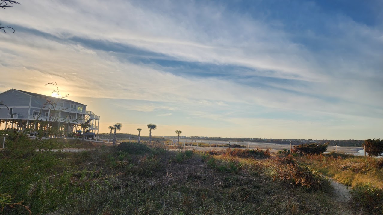
Calabash, Ocean Isle, Southport & Oak IslandRead Story →
Where It Is The route follows southeastern North Carolina through Calabash, Ocean Isle Beach, Southport, and Oak Island.
Why It Matters A four-stop coastal loop through seafood country, a barrier-island beach, historic Southport, and the Oak Island lighthouse shore.
- Location
- Brunswick County • North Carolina
- Adventure
- Road Trip • Beaches • Coastal Towns
- Album Dates
- October 16, 2022
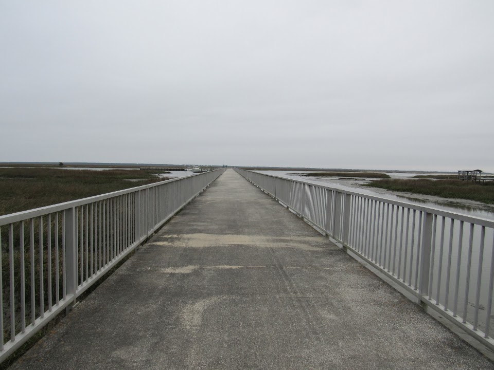
Cape Romain National Wildlife RefugeRead Story →
Where It Is The national wildlife refuge stretches 22 miles along the South Carolina coast between the Awendaw and McClellanville areas.
Why It Matters A boat-access coastal refuge of barrier islands, vast marsh, historic lighthouses, and critical habitat for birds and sea turtles.
- Location
- Awendaw • McClellanville • South Carolina
- Adventure
- Wildlife • Boat Access • Coastal History
- Album Dates
- March 17, 2021

Car Show MemoriesRead Story →
Where It Is The shared album gathers car-show images photographed from December 2012 through March 2021 rather than documenting one named event.
Why It Matters A nine-year album of classic lines, custom details, polished engines, and the community that turns parked cars into a show.
- Location
- R&M Car Show Collection
- Adventure
- Cars • Shows • Detail Photography
- Photo Date
- December 19, 2012 – March 20, 2021
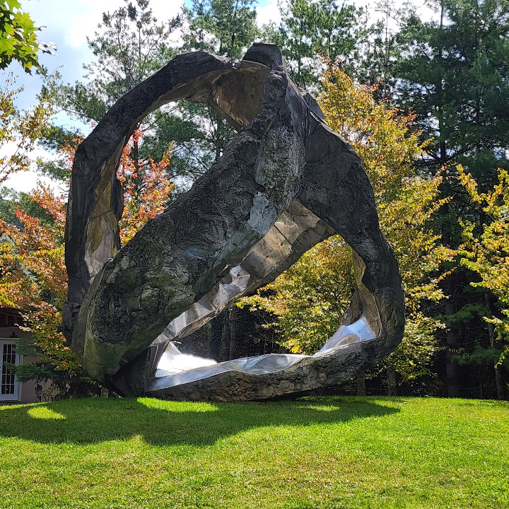
Cashiers, Cherokee & the Blue Ridge ParkwayRead Story →
Where It Is The trip links the Cashiers area with Cherokee and the southern end of the Blue Ridge Parkway in western North Carolina.
Why It Matters A western North Carolina journey through Cashiers, Cherokee, waterfalls, overlooks, and the southern miles of the Blue Ridge Parkway.
- Location
- Western North Carolina
- Adventure
- Road Trip • Mountains • Waterfalls
- Photo Date
- September 18, 2022 – April 13, 2023
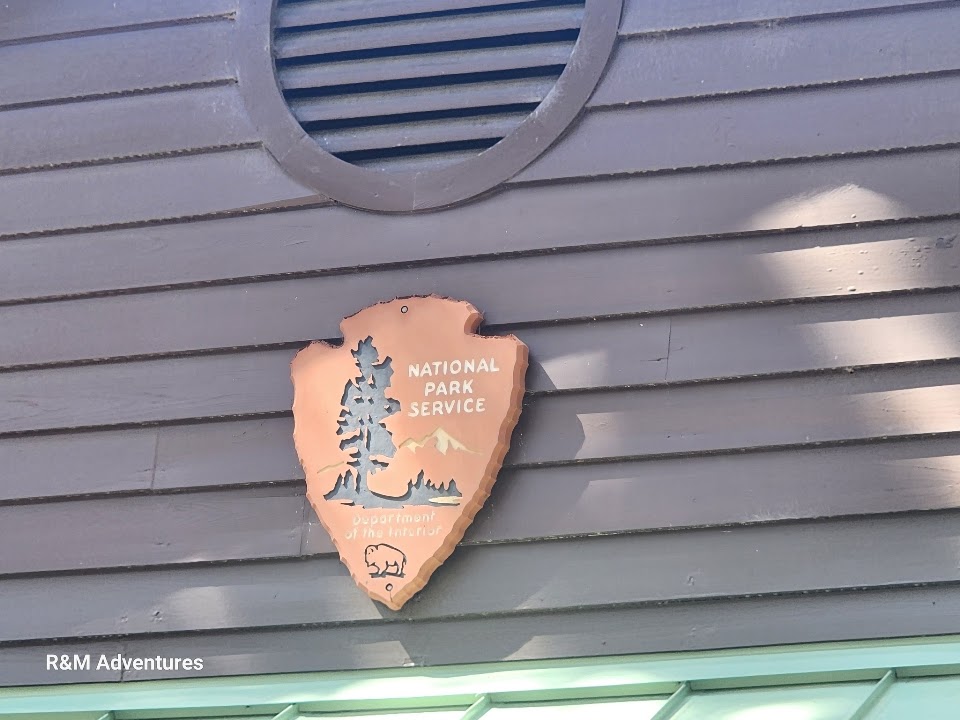
Charles Pinckney National Historic SiteRead Story →
Where It Is The National Park Service site preserves Snee Farm in Mount Pleasant, one of Charles Pinckney’s former plantation properties.
Why It Matters A National Park Service site interpreting Charles Pinckney, the Constitution, plantation operations, and the people enslaved at Snee Farm.
- Location
- Mount Pleasant • South Carolina
- Adventure
- History • Museum • Lowcountry
- Photo Date
- March 15, 2024
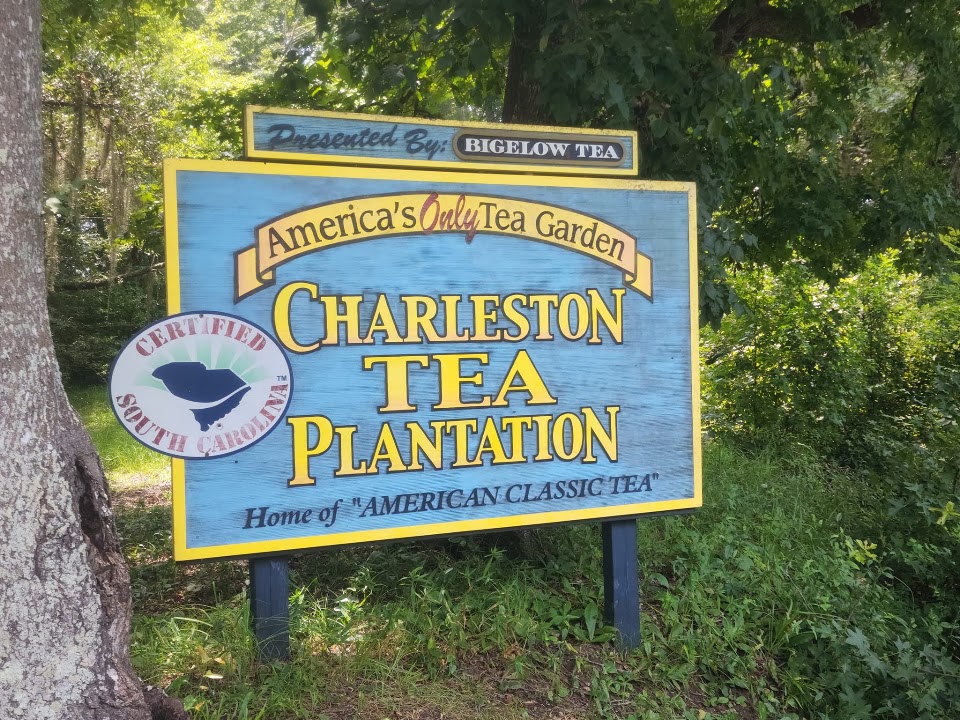
Charleston Tea GardenRead Story →
Where It Is The 127-acre garden lies on Wadmalaw Island a short drive from Charleston.
Why It Matters A working Wadmalaw Island tea garden where long green rows, factory exhibits, and Lowcountry history explain how American-grown tea is made.
- Location
- Wadmalaw Island • South Carolina
- Adventure
- Garden • Factory • Agricultural History
- Photo Date
- August 15, 2022
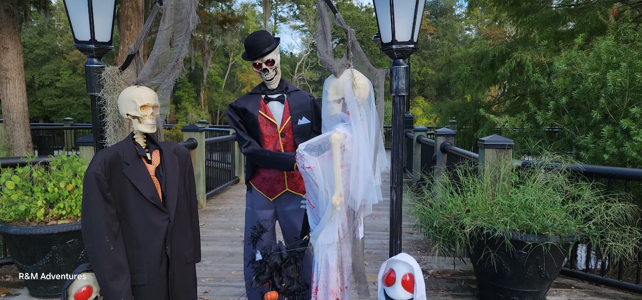
City of Halloween: Conway, South CarolinaRead Story →
Where It Is The seasonal celebration spreads through downtown Conway near the Waccamaw River.
Why It Matters A downtown transformed for October, with spooky streets, creative displays, historic storefronts, and the atmosphere of Conway after dark.
- Location
- Conway • South Carolina
- Adventure
- Seasonal Event • Downtown • Night Photography
- Photo Date
- September 25 – October 10, 2024
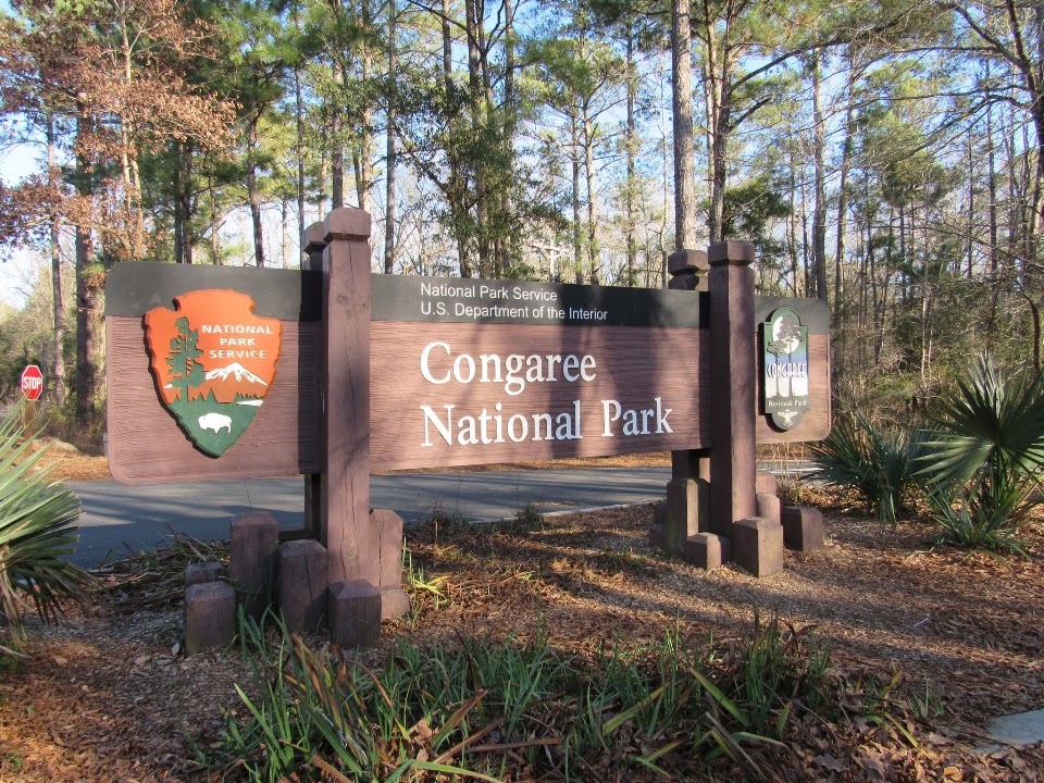
Congaree National ParkRead Story →
Where It Is The national park lies southeast of Columbia near Hopkins within the floodplain of the Congaree and Wateree rivers.
Why It Matters Walk a boardwalk beneath old-growth giants or paddle Cedar Creek through a floodplain forest nourished by two great rivers.
- Location
- Hopkins • South Carolina
- Adventure
- Boardwalk • Old Growth • Paddling
- Photo Date
- January 19, 2021
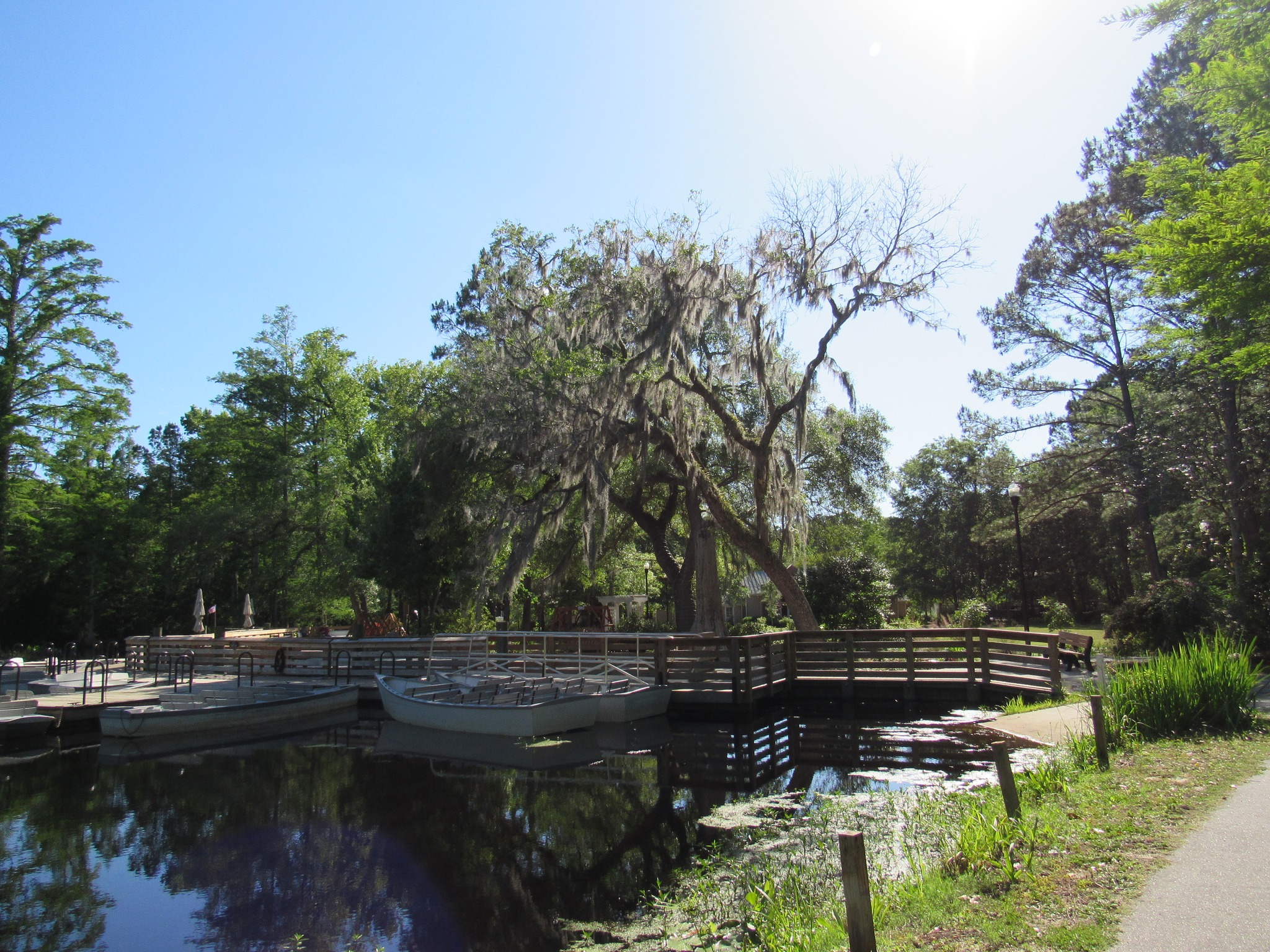
Cypress GardensRead Story →
Where It Is The 170-acre Berkeley County preserve lies near Moncks Corner in the South Carolina Lowcountry.
Why It Matters Paddle or walk through a 170-acre blackwater preserve of cypress knees, Spanish moss, wildlife, and famous film scenery.
- Location
- Moncks Corner • South Carolina
- Adventure
- Boat Trail • Garden • Wildlife
- Photo Date
- May 14, 2021
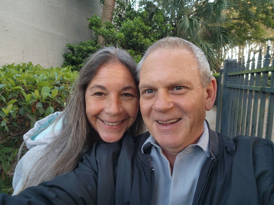
Daufuskie Island & the Hilton Head AreaRead Story →
Where It Is Daufuskie is reached by passenger ferry or boat from Hilton Head Island and Bluffton in the South Carolina Lowcountry.
Why It Matters A boat-only Lowcountry island explored by golf cart through beaches, historic roads, art stops, and the waters around Hilton Head.
- Location
- Daufuskie Island • Hilton Head Area
- Adventure
- Ferry • Island • Golf Cart
- Album Dates
- March 6, 2022 – April 13, 2023
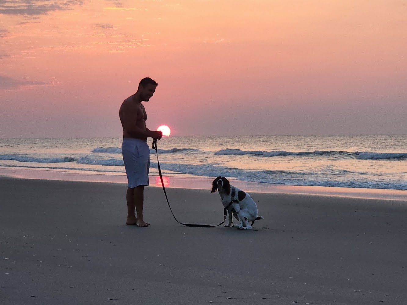
Early Morning Sunrise Paddleboarding Surfside Beach, South CarolinaRead Story →
Where It Is Surfside Beach lies on South Carolina's Grand Strand south of Myrtle Beach, facing a broad Atlantic horizon. At sunrise, calmer winds and lower beach activity can make the nearshore water especially inviting for experienced paddleboarders who understand local surf and current conditions.
Why It Matters From a board, the sunrise is not just something seen from shore—the color reflects around the paddler while the town slowly wakes behind them. The photographs capture that brief meeting of exercise, weather and changing light.
- Location
- Early Morning Sunrise Paddleboarding Surfside Beach, South Carolina
- Adventure
- Road Trip • Walking • Photography
- Photo Date
- Thursday, Jun 2, 2022
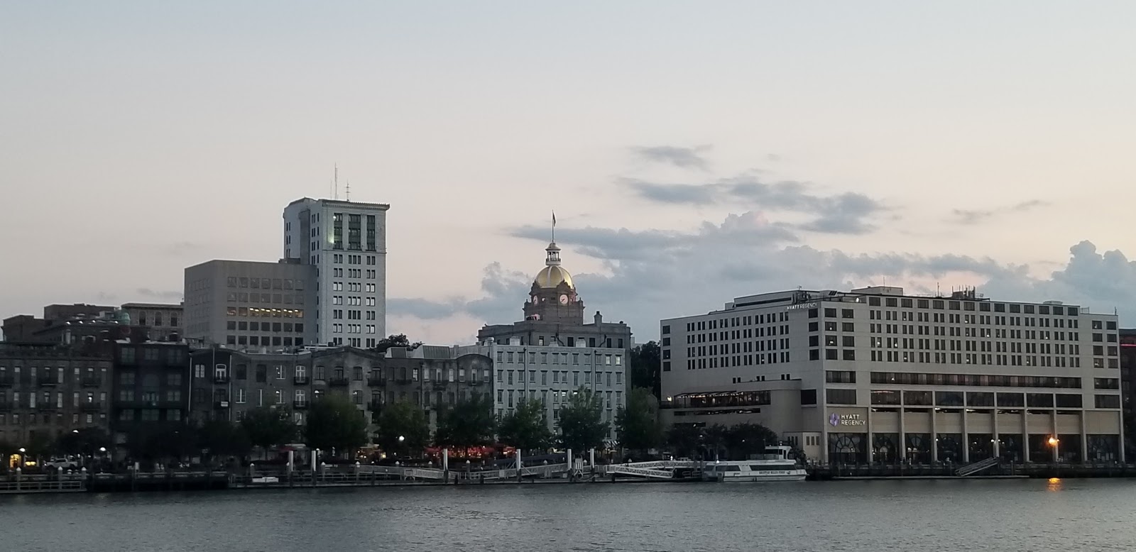
Exploring Savannah, GeorgiaRead Story →
Where It Is Savannah, Georgia, was founded in 1733 beside the Savannah River and planned around a distinctive system of public squares. The historic district's live oaks, townhouses, churches and garden spaces sit only blocks from a working riverfront port.
Why It Matters Walking from a quiet square down to River Street reveals the city's contrasts—formal architecture, layered history, cobblestones, ships and shaded parks. Nearby forts, islands and wildlife refuges make the wider Savannah area just as varied.
- Location
- Exploring Savannah, Georgia
- Adventure
- Road Trip • Walking • Photography
- Photo Date
- Jul 10, 2020 – Mar 10, 2021
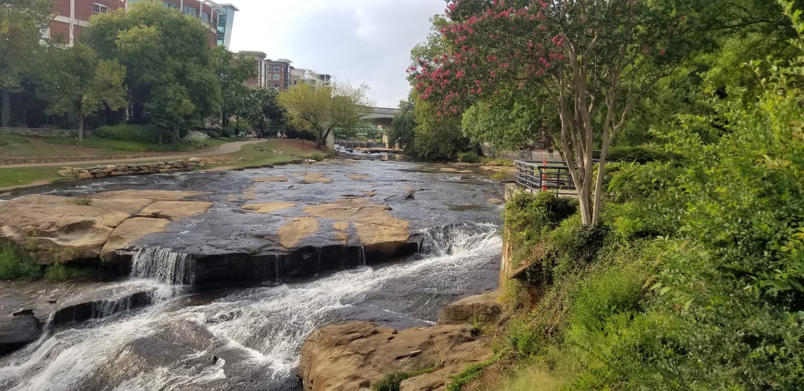
Falls Park on the Reedy Greenville, South CarolinaRead Story →
Where It Is Falls Park on the Reedy is a landscaped public park in downtown Greenville, built around a natural waterfall on the Reedy River. The curved Liberty Bridge crosses above the falls without supports in the river, keeping the cascade open to view.
Why It Matters The park turns the center of a growing city into a place for water, gardens, public art and walking. Paths connect directly with Main Street and the Swamp Rabbit Trail, so the falls can be either a quick stop or the beginning of a longer exploration.
- Location
- Falls Park on the Reedy Greenville, South Carolina
- Adventure
- Road Trip • Walking • Photography
- Photo Date
- Jul 12, 2008 – Apr 18, 2023
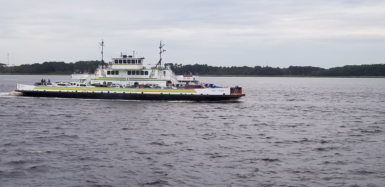
Fort Fisher Ferry, Southport & Oak IslandRead Story →
Where It Is The Fort Fisher–Southport ferry carries vehicles and passengers across the mouth of the Cape Fear River in southeastern North Carolina. It links Fort Fisher and Pleasure Island with Southport, Oak Island and the Brunswick County beaches without the long inland drive around the river.
Why It Matters The crossing is transportation and sightseeing at the same time. Passengers can watch working vessels, marshes, islands and lighthouses while following the same broad waterway that shaped the region's forts and ports.
- Location
- Fort Fisher Ferry, Southport & Oak Island
- Adventure
- Port Call • Culture • Waterfront
- Photo Date
- Saturday, Aug 22, 2020
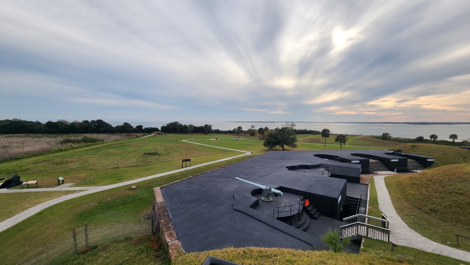
Fort Moultrie — Sullivan’s IslandRead Story →
Where It Is Fort Moultrie on Sullivan's Island guarded the entrance to Charleston Harbor through nearly two centuries of changing warfare. The first fort, built of palmetto logs and sand, withstood a British naval attack on June 28, 1776 and helped give South Carolina its palmetto symbol.
Why It Matters A walk through the fort moves from the Revolutionary era to World War II, showing how coastal defense changed from open cannon platforms to concrete batteries and command posts. Harbor views connect the walls with Fort Sumter and Charleston beyond.
- Location
- Fort Moultrie — Sullivan’s Island
- Adventure
- Port Call • Culture • Waterfront
- Photo Date
- Oct 26, 2019 – Nov 17, 2022
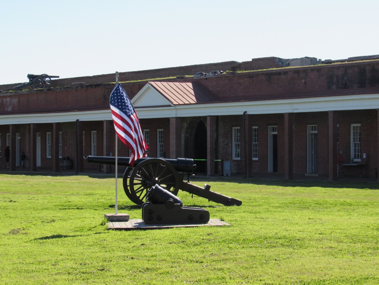
Fort Pulaski National Monument Savannah, GeorgiaRead Story →
Where It Is Fort Pulaski National Monument protects a massive brick fort on Cockspur Island at the mouth of the Savannah River. In April 1862, Union rifled cannon breached its walls from more than a mile away, demonstrating that traditional masonry forts had become vulnerable.
Why It Matters The fort's moat, drawbridges, brick arches and damaged wall make military engineering easy to see. Trails and river views add marsh scenery, ships and wildlife to a site best known for a turning point in artillery history.
- Location
- Fort Pulaski National Monument Savannah, Georgia
- Adventure
- Road Trip • Walking • Photography
- Photo Date
- Mar 9, 2021 – Apr 15, 2023
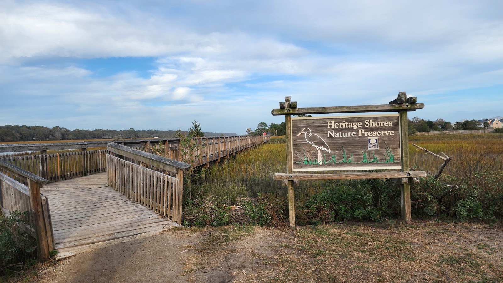
Heritage Shores Nature Preserve North Myrtle Beach, South CarolinaRead Story →
Where It Is Heritage Shores Nature Preserve is a seven-acre park on an island in the Cherry Grove marsh of North Myrtle Beach. Boardwalks, observation areas and walking paths give visitors close views of tidal creeks without disturbing the marsh surface.
Why It Matters The preserve is small but changes constantly with the tide. Egrets, herons, fiddler crabs and marsh grasses appear against views of homes, boats and the Intracoastal Waterway, showing how much wildlife survives within the city.
- Location
- Heritage Shores Nature Preserve North Myrtle Beach, South Carolina
- Adventure
- Road Trip • Walking • Photography
- Photo Date
- Sunday, Nov 6, 2022
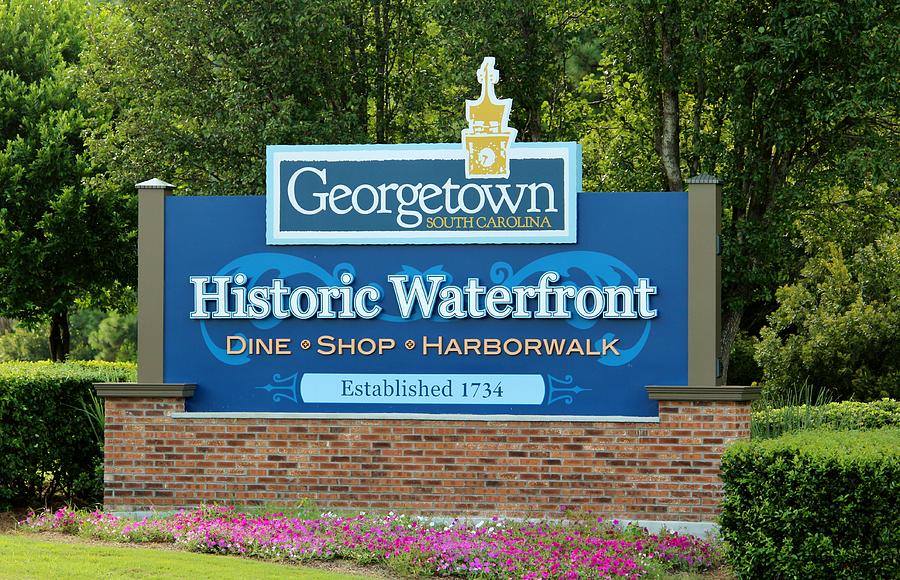
Historic Georgetown, South CarolinaRead Story →
Where It Is Georgetown is a historic port city on Winyah Bay between Charleston and Myrtle Beach. Its waterfront, oak-lined streets and surviving homes reflect centuries of Indigenous, colonial, rice-culture, maritime and industrial history.
Why It Matters The Harborwalk follows the working waterfront behind Front Street, while museums and nearby plantations explain why Georgetown became one of colonial America's leading rice ports. Modern shrimp boats and harbor traffic keep the city from feeling frozen in time.
- Location
- Historic Georgetown, South Carolina
- Adventure
- Road Trip • Walking • Photography
- Photo Date
- Jul 7, 2019 – Apr 23, 2023
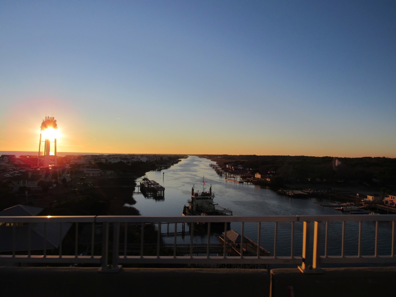
Holden Beach North CarolinaRead Story →
Where It Is Holden Beach is a family-oriented barrier-island town in Brunswick County, North Carolina. A long strand of Atlantic beach faces south, while the Intracoastal Waterway and marshes line the island's quieter northern side.
Why It Matters The island's low-rise development keeps the horizon open and the beach central. Sunrises and sunsets can both color the water because of the shoreline's east-west orientation, and the bridge provides a broad first view of the island.
- Location
- Holden Beach North Carolina
- Adventure
- Road Trip • Walking • Photography
- Photo Date
- Oct 14, 2020 – May 26, 2022
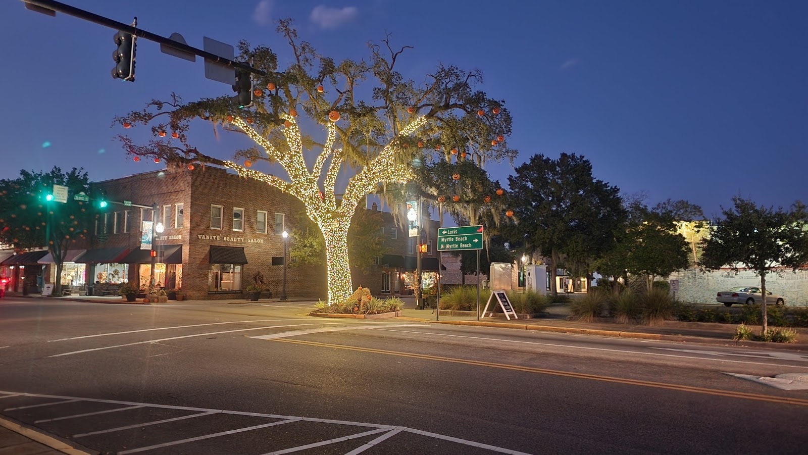
Home in Conway, South CarolinaRead Story →
Where It Is Conway is R&M's home base in inland Horry County, where the historic downtown meets the Waccamaw River. Founded long before the nearby beach resorts, the city has its own identity built around live oaks, local neighborhoods and a working county seat.
Why It Matters A personal home album is about the everyday places that travel pages often miss—the seasons, projects, family details and familiar views that make other adventures possible. It gives the wider collection a true starting point.
- Location
- Home in Conway, South Carolina
- Adventure
- Personal History • Archive • Memory
- Photo Date
- Jul 12, 2007 – Oct 13, 2023
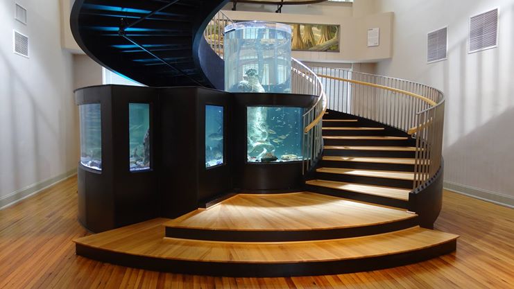
Horry County Museum Conway, South CarolinaRead Story →
Where It Is The Horry County Museum occupies Conway's restored 1905 Burroughs School and interprets the natural and cultural history of South Carolina's largest county by area. Exhibits cover Native people, farming, beach culture, military history, wildlife and the communities of the Waccamaw region.
Why It Matters The museum explains how the Grand Strand grew from river towns, farms and small beach communities into a major destination. A large freshwater aquarium and changing exhibits make it useful for both local history and family visits.
- Location
- Horry County Museum Conway, South Carolina
- Adventure
- Road Trip • Walking • Photography
- Photo Date
- Nov 12, 2013 – May 14, 2023
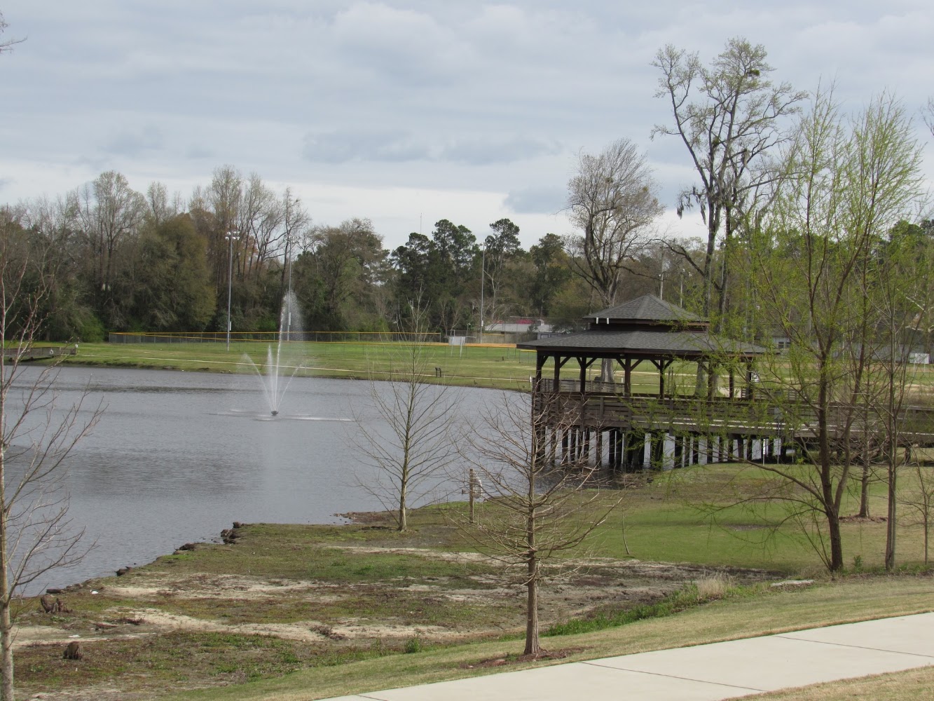
Lake City Community Park Lake City, South CarolinaRead Story →
Where It Is Lake City Community Park is a local recreation space in Lake City, South Carolina, offering trails, water views and room for families to enjoy the outdoors close to town. It belongs to the everyday network of community parks that often reveal a place more personally than a major attraction.
Why It Matters A short walk, picnic or quiet stop can become a chance to notice local landscaping, birds and reflections. The album shows why smaller parks deserve a place beside famous destinations in a record of real travel.
- Location
- Lake City Community Park Lake City, South Carolina
- Adventure
- Road Trip • Walking • Photography
- Photo Date
- Sunday, Mar 21, 2021
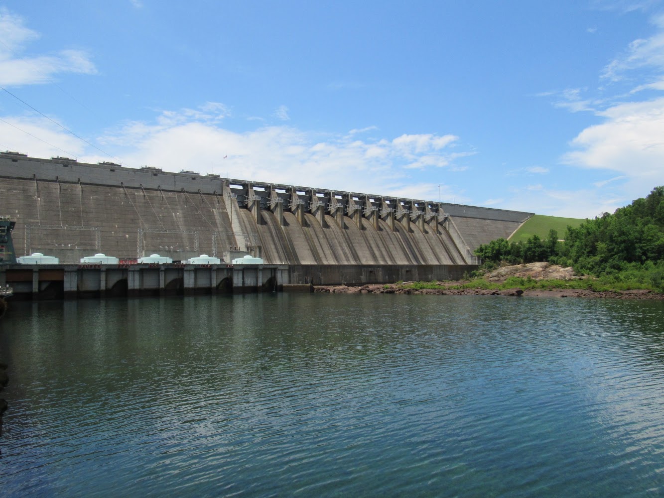
Lake Hartwell Dam — Georgia–South Carolina BorderRead Story →
Where It Is Hartwell Dam spans the Savannah River at the Georgia–South Carolina border and creates 56,000-acre Lake Hartwell. The U.S. Army Corps of Engineers built the concrete dam between 1955 and 1962 for flood control, hydropower, navigation support and recreation.
Why It Matters The dam makes the scale of the reservoir understandable: lake water stretches away on one side while the Savannah River continues below on the other. Nearby overlooks, trails and recreation areas give visitors several angles on the structure.
- Location
- Lake Hartwell Dam — Georgia–South Carolina Border
- Adventure
- Road Trip • Walking • Photography
- Photo Date
- Saturday, Jun 12, 2021
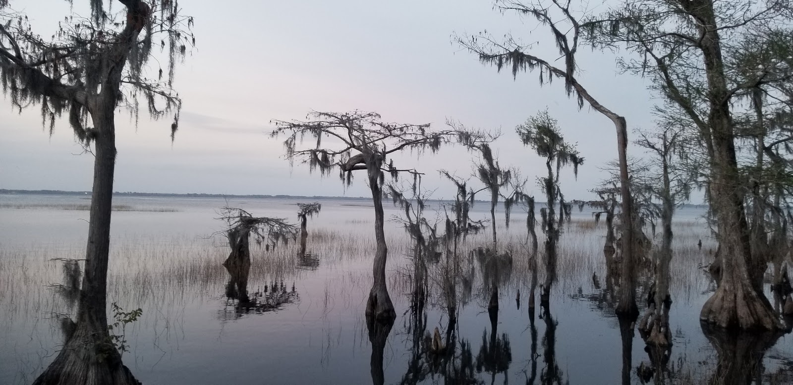
Lake Waccamaw State Park Lake Waccamaw, North CarolinaRead Story →
Where It Is Lake Waccamaw State Park protects part of the shoreline of Lake Waccamaw, a large Carolina bay lake in Columbus County, North Carolina. Although Carolina bays are usually acidic and low in nutrients, limestone beneath this lake helps create unusually neutral water and habitat for rare plants and animals found nowhere else.
Why It Matters A long boardwalk carries visitors over wetlands to broad views of the lake without requiring a boat. Ten miles of trails, paddling, fishing and a visitor center make the park a strong introduction to one of the coastal plain's most unusual natural systems.
- Location
- Lake Waccamaw State Park Lake Waccamaw, North Carolina
- Adventure
- Road Trip • Walking • Photography
- Photo Date
- Wednesday, Mar 24, 2021
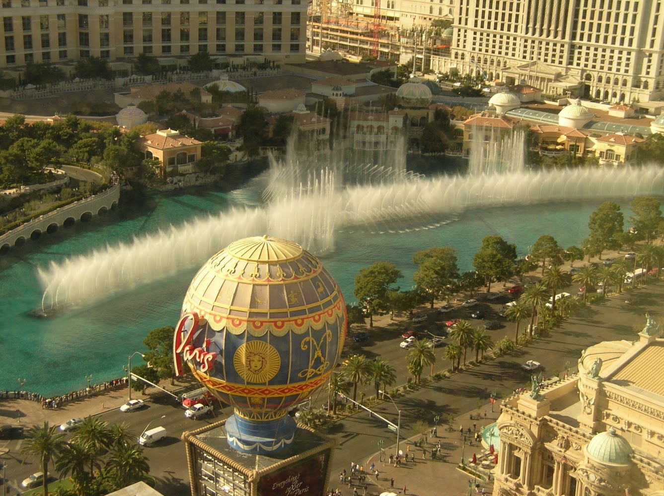
Las Vegas, NevadaRead Story →
Where It Is Las Vegas is a desert city in southern Nevada best known for the resort corridor called the Strip. Casinos, theaters, themed architecture and enormous signs rise from the Las Vegas Valley beneath mountains shaped by the Mojave Desert.
Why It Matters The city rewards people-watching and visual exploration even without gambling. Each resort builds a different world, while downtown's Fremont Street preserves neon history and nearby public lands reveal the desert beyond the lights.
- Location
- Las Vegas, Nevada
- Adventure
- Road Trip • Walking • Photography
- Photo Date
- Mar 6, 2008 – May 15, 2023
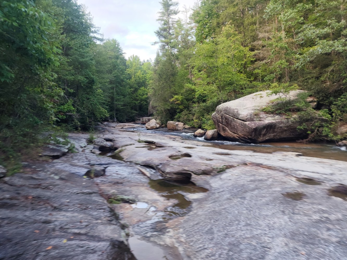
Long Shoals Wayside Park, Sunset, South CarolinaRead Story →
Where It Is Long Shoals Wayside Park is a small roadside recreation area along Little Eastatoee Creek near Sunset in Pickens County. Water slides across a broad, sloping rock face into shallow pools beneath mountain forest.
Why It Matters The creek is close to the parking area, making the shoals an easy scenic stop on a mountain drive. The smooth rock and rushing water are beautiful, but also slippery and powerful after rain, so the place is best enjoyed with caution.
- Location
- Long Shoals Wayside Park, Sunset, South Carolina
- Adventure
- Road Trip • Walking • Photography
- Photo Date
- Jun 9, 2021 – Sep 11, 2022
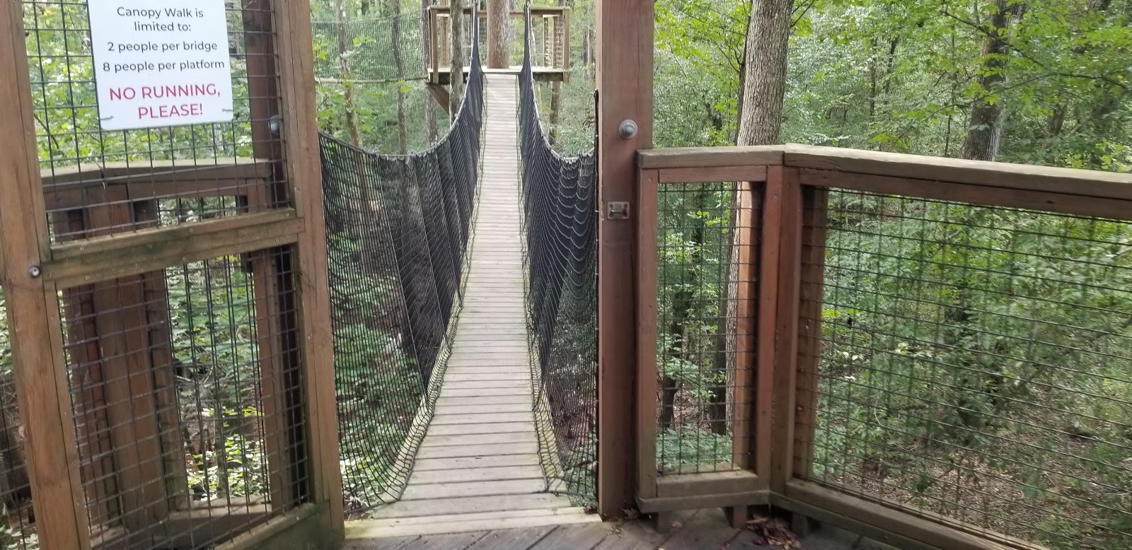
Lynches River County ParkRead Story →
Where It Is Lynches River County Park protects 676 acres of floodplain forest along the Lynches River in Florence County. Boardwalks, trails, canoe access and the Environmental Discovery Center introduce visitors to a South Carolina Scenic River and its wildlife.
Why It Matters The treetop canopy walk provides a different view of the forest, while river access brings paddlers close to cypress, tupelo and shaded blackwater. Exhibits and live animals make the ecology easier to understand before heading outside.
- Location
- Lynches River County Park
- Adventure
- Road Trip • Walking • Photography
- Photo Date
- Saturday, Sep 5, 2020
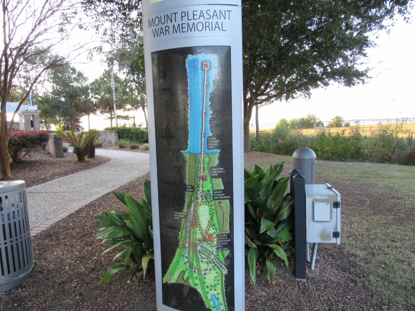
Mount Pleasant Memorial Waterfront ParkRead Story →
Where It Is Mount Pleasant Memorial Waterfront Park sits beneath the Arthur Ravenel Jr. Bridge on Charleston Harbor. A long fishing pier, playground, lawn and memorial spaces occupy land beside the Cooper River and the former Grace Memorial Bridge approach.
Why It Matters The park provides one of the best ground-level views of the Ravenel Bridge, especially when ships pass between its towers. The pier extends into the harbor for fishing, breezes and broad looks toward Charleston and Patriots Point.
- Location
- Mount Pleasant Memorial Waterfront Park
- Adventure
- Road Trip • Walking • Photography
- Photo Date
- Nov 14, 2020 – Mar 4, 2021
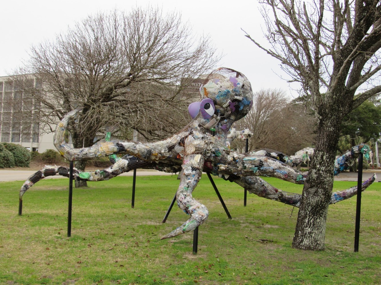
Myrtle Beach Art MuseumRead Story →
Where It Is The Franklin G. Burroughs–Simeon B. Chapin Art Museum is Myrtle Beach's nonprofit art museum, housed in a relocated 1920s beach cottage near the ocean. Changing exhibitions highlight Southern artists, photography, crafts and works connected with the region.
Why It Matters The museum offers a quiet cultural stop away from the busiest attractions, and the historic house is part of the experience. Because exhibitions change, return visits can feel completely different.
- Location
- Myrtle Beach Art Museum
- Adventure
- Road Trip • Walking • Photography
- Photo Date
- Friday, Jan 22, 2021
Nikole's Science ProjectRead Story →
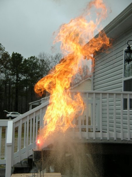
Where It Is Nikole's Science Project is a family learning album rather than a public destination. The page can preserve the question, materials, experiment, observations and result without adding details that are not visible in the photographs or supplied by the family.
Why It Matters A good project record shows more than the finished display. Close-ups of the setup and each stage help viewers follow the scientific process and remember the work that went into it.
- Location
- Nikole's Science Project
- Adventure
- Personal History • Archive • Memory
- Photo Date
- Sunday, May 21, 2023
Nintendo Wii Games: Summer 2010Read Story →
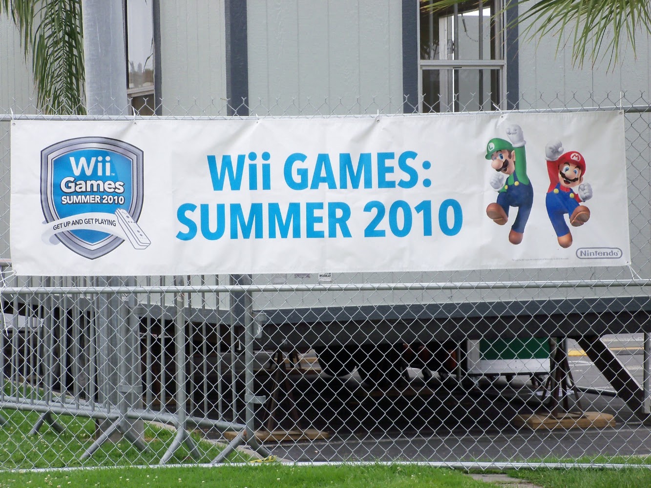
Where It Is The story runs from a Six Flags qualifier in Massachusetts through the family’s Conway home and on to Nintendo’s national championship at Redondo Beach.
Why It Matters Nikole and Zak’s family story—from a Massachusetts qualifier to Nintendo’s national stage in Southern California.
- Location
- Conway, South Carolina • Massachusetts • California
- Adventure
- Family • Competition • Los Angeles
- Photo Date
- Jan 8, 2009 – Sep 5, 2010
November Paddleboarding at Pitch LandingRead Story →
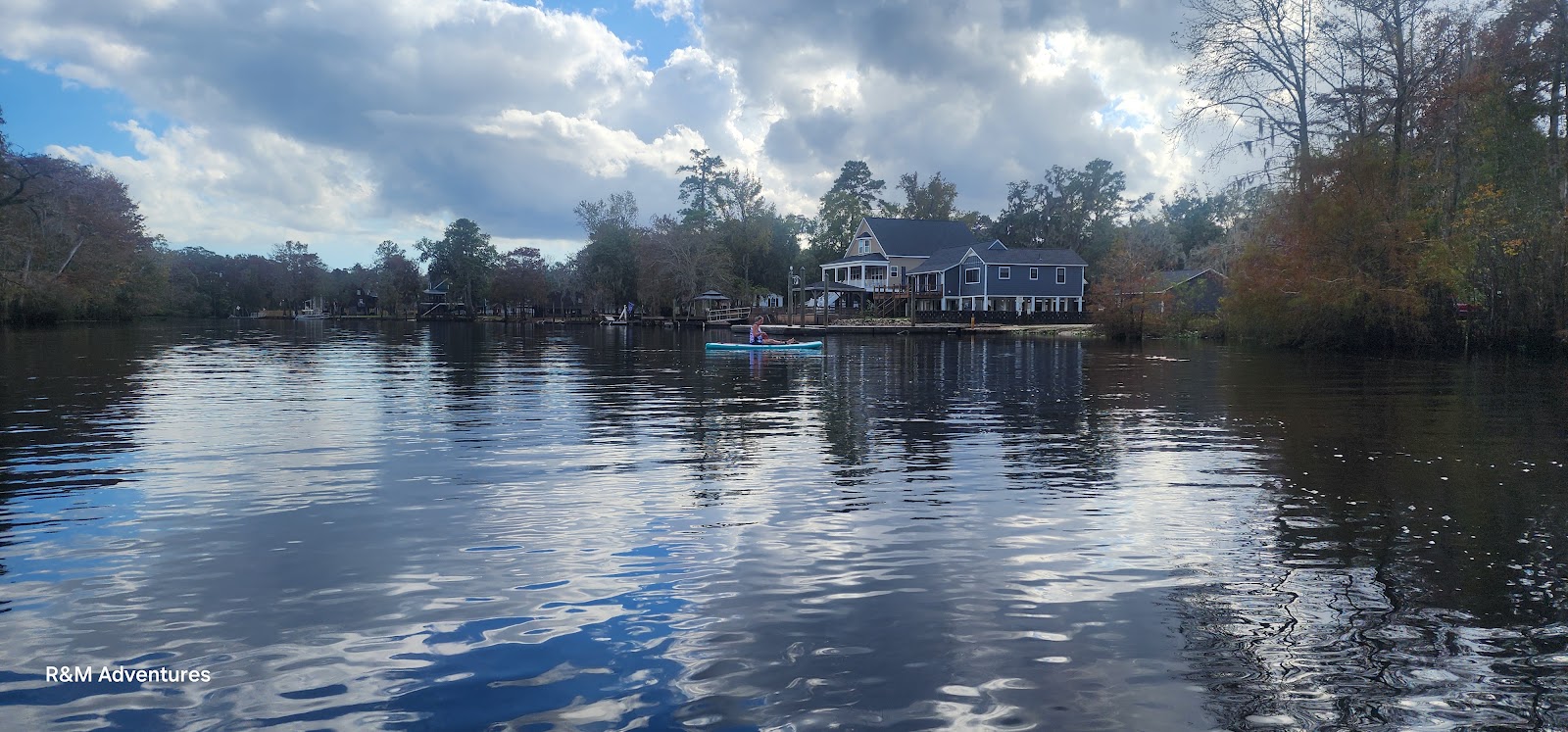
Where It Is Pitch Landing is a public river access in the Conway area on the Waccamaw River system. A November paddle replaces summer crowds and heat with lower sun, changing leaf color and the quiet reflection of a blackwater river.
Why It Matters Cool-season paddling can make familiar water feel entirely new, but shorter daylight and cold water demand more preparation. The album captures the river at a specific season rather than treating every trip as the same.
- Location
- November Paddleboarding at Pitch Landing
- Adventure
- Road Trip • Walking • Photography
- Photo Date
- Friday, Nov 1, 2024
Oak Island Beach, North CarolinaRead Story →
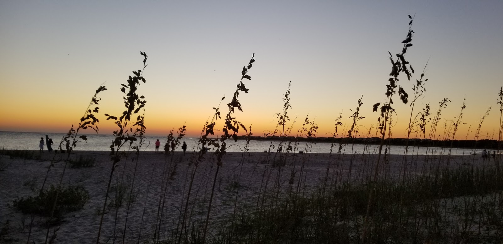
Where It Is Oak Island is a barrier-island community in Brunswick County, North Carolina, with miles of south-facing Atlantic beach. The island is connected to the mainland by two bridges and includes residential neighborhoods, public beach accesses and views toward the Cape Fear River entrance.
Why It Matters The low-rise shoreline creates room for long walks, shell hunting and sunrise or sunset views. At the island's eastern end, Oak Island Lighthouse provides a distinctive modern landmark beside Caswell Beach.
- Location
- Oak Island Beach, North Carolina
- Adventure
- Port Call • Culture • Waterfront
- Photo Date
- Oct 14, 2020 – Aug 23, 2021
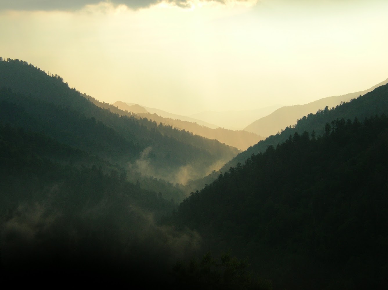
Old-School Gatlinburg & the Smoky MountainsRead Story →
Where It Is Gatlinburg sits at the Tennessee entrance to Great Smoky Mountains National Park, where a compact mountain town meets the most-visited national park in the United States. An old-school album preserves an earlier look at attractions, signs, roads and family travel in the Smokies.
Why It Matters The area combines roadside nostalgia with extraordinary public land. A short drive can move from Gatlinburg's bright main street to historic cabins, waterfalls, wildlife and high-elevation views along Newfound Gap Road.
- Location
- Old-School Gatlinburg & the Smoky Mountains
- Adventure
- Road Trip • Walking • Photography
- Photo Date
- Jun 12 – 14, 2007
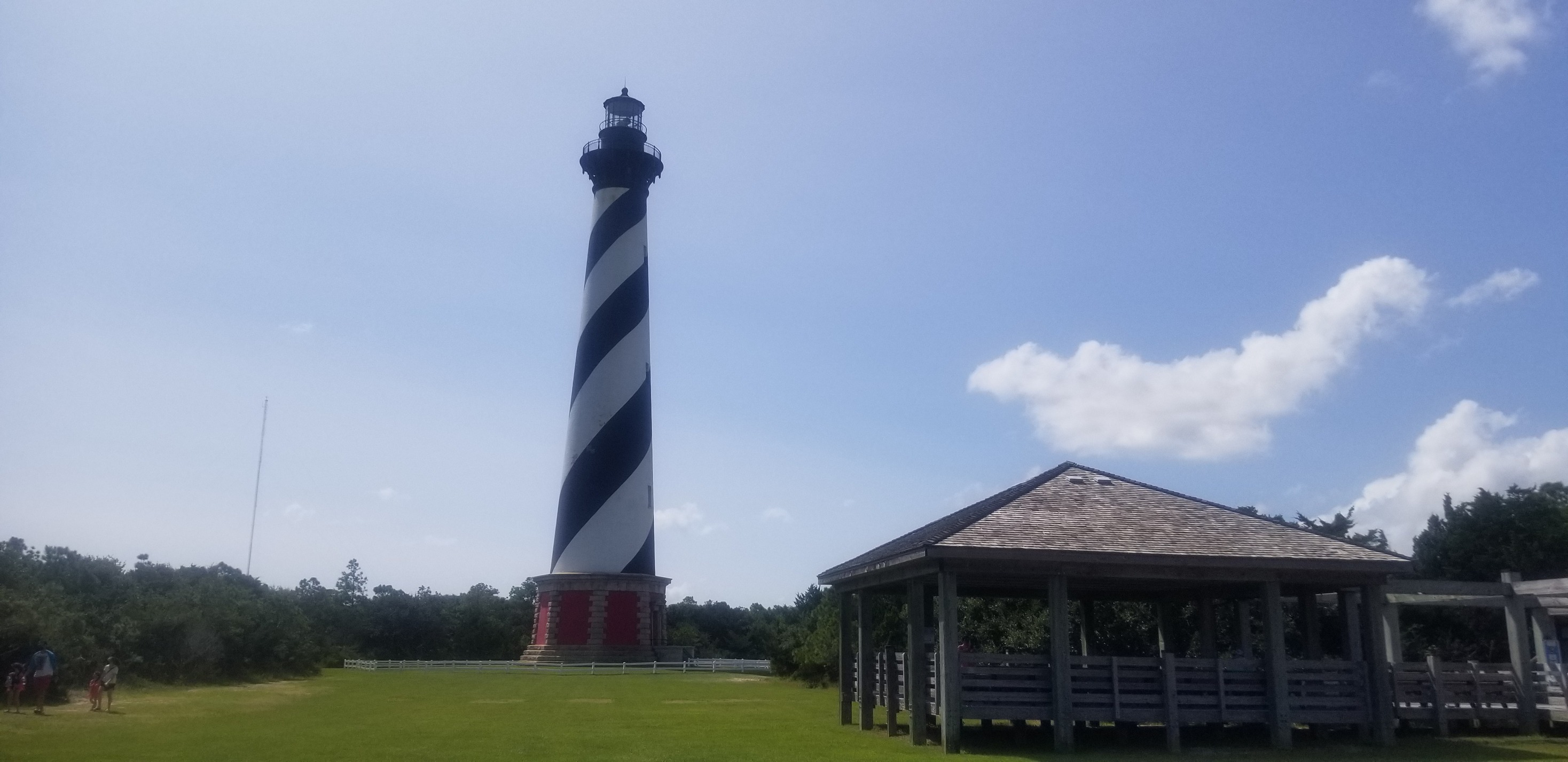
Outer Banks Road TripRead Story →
Where It Is The Outer Banks stretch along North Carolina’s Atlantic coast, with Cape Hatteras National Seashore protecting a long chain of beaches, barrier-island landscapes, and historic light stations.
Why It Matters A four-day drive through barrier islands, ocean horizons, coastal villages, ferries, and the unmistakable spiral of Cape Hatteras Lighthouse.
- Location
- Outer Banks • North Carolina
- Adventure
- Road Trip • Lighthouses • Coast
- Photo Dates
- September 13–16, 2020
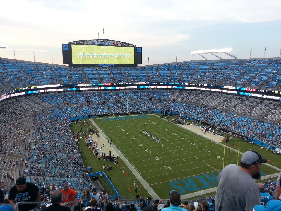
Patriots vs. Panthers at Bank of America StadiumRead Story →
Where It Is Bank of America Stadium stands in Uptown Charlotte as the home of the Carolina Panthers and a major sports landmark in the Carolinas.
Why It Matters A 2016 preseason football memory with the Patriots, Panthers, Uptown Charlotte, and a full stadium-night atmosphere.
- Location
- Charlotte • North Carolina
- Adventure
- Football • Stadium • City Night
- Photo Date
- August 26–27, 2016
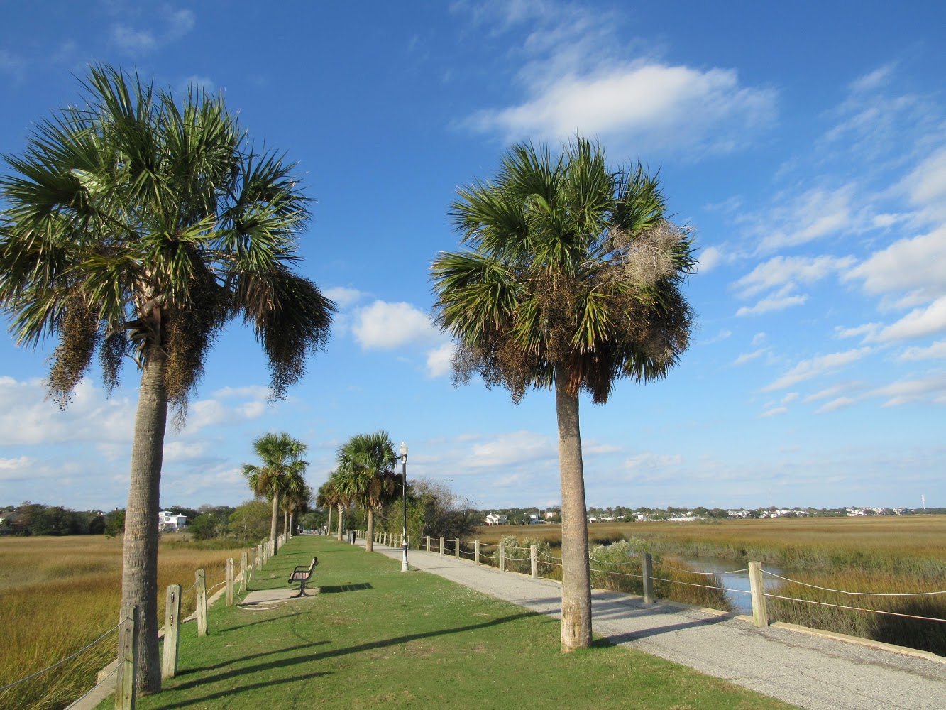
Pitt St. Bridge Mount Pleasant, South CarolinaRead Story →
Where It Is Pitt Street Bridge Park extends into Cove Inlet from Mount Pleasant's Old Village. The walkway follows part of the former trolley bridge that once carried travelers toward Sullivan's Island before modern road bridges replaced it.
Why It Matters The old bridge approach is now a peaceful path for walking, fishing and watching marsh wildlife. At the end, views open across Charleston Harbor toward Sullivan's Island, Fort Sumter and the city skyline.
- Location
- Pitt St. Bridge Mount Pleasant, South Carolina
- Adventure
- Road Trip • Walking • Photography
- Photo Date
- Saturday, Nov 14, 2020
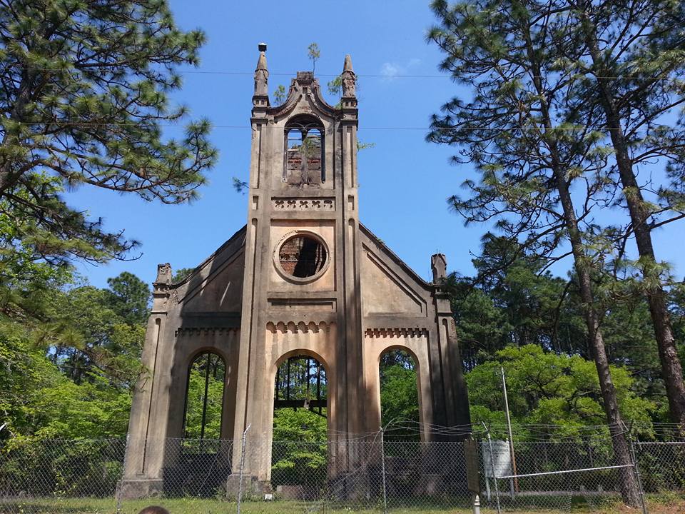
Plantersville Scenic BywayRead Story →
Where It Is The Plantersville Scenic Byway follows rural roads through Georgetown County's historic rice-plantation country. Live oaks, blackwater creeks, former rice fields, churches and small communities reveal a landscape shaped by both natural wetlands and generations of human labor.
Why It Matters The route is most rewarding when treated as a slow drive rather than a shortcut. Views across old rice impoundments help explain how tidal engineering transformed the Lowcountry—and why the history of enslaved African expertise must be part of the story.
- Location
- Plantersville Scenic Byway
- Adventure
- Road Trip • Walking • Photography
- Photo Date
- Feb 15, 2021 – Apr 22, 2023 • Jun 15 – Nov 19, 2024
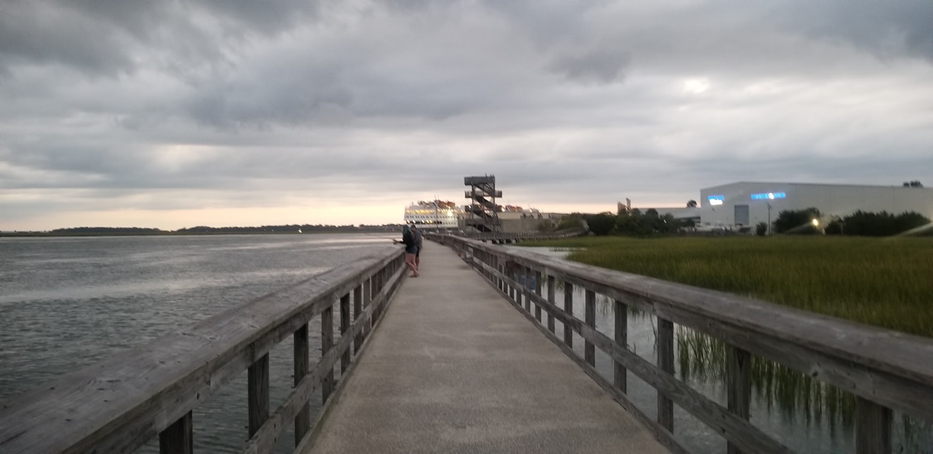
Port Royal Boardwalk & Observation TowerRead Story →
Where It Is Port Royal sits along Battery Creek in South Carolina’s Lowcountry, with the Henry Robinson Boardwalk extending beside the water toward a public observation tower.
Why It Matters A peaceful waterfront walk where the boardwalk, observation tower, and Battery Creek open up one of the Lowcountry’s best wide-water views.
- Location
- Port Royal • Battery Creek
- Adventure
- Boardwalk • Tower • Estuary
- Photo Dates
- April 24, 2023
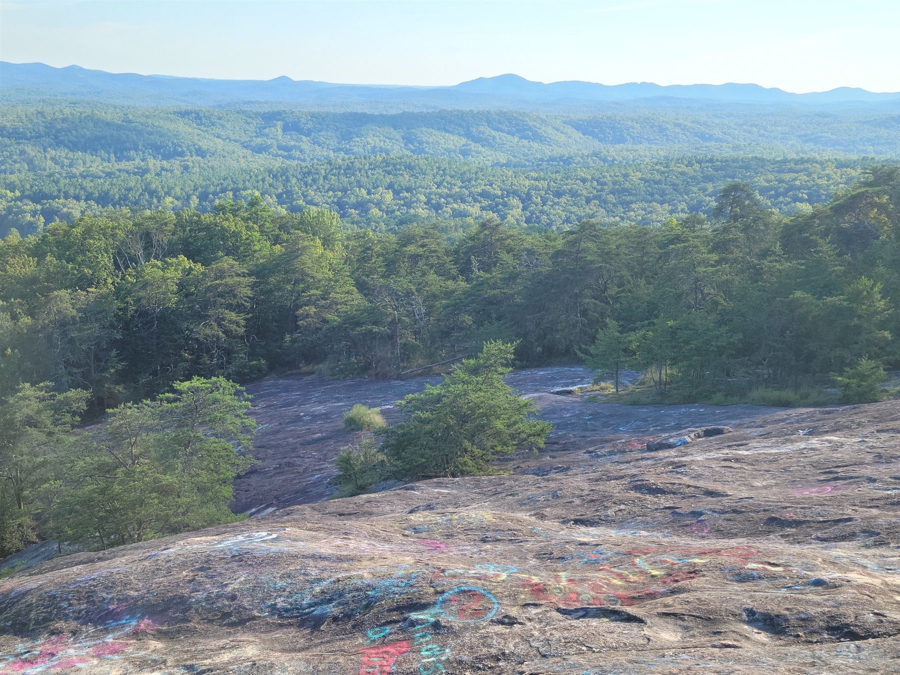
Pretty Place Chapel & Bald RockRead Story →
Where It Is Pretty Place and Bald Rock are scenic mountain stops near Cleveland, South Carolina, where the Blue Ridge opens into long layered views across the upstate.
Why It Matters An open-air mountain chapel paired with the sweeping Blue Ridge panorama at Bald Rock—two unforgettable views in one upstate day.
- Location
- Cleveland • Blue Ridge Mountains
- Adventure
- Chapel • Scenic Overlook
- Photo Dates
- 2020–2023
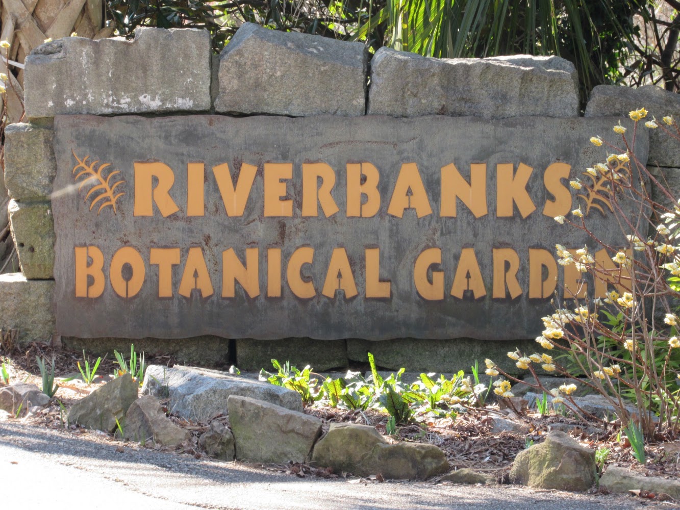
Riverbanks Botanical Gardens Columbia, South CarolinaRead Story →
Where It Is Riverbanks Botanical Garden covers 70 acres on the west side of the Saluda River in Columbia. Formal gardens, wooded paths, seasonal displays and historic ruins connect with Riverbanks Zoo across the river.
Why It Matters The garden changes dramatically through the year, from spring blossoms to summer color and holiday lights. The restored ruins of an 1830s textile mill and the river overlook add history and texture beyond the planted beds.
- Location
- Riverbanks Botanical Gardens Columbia, South Carolina
- Adventure
- Road Trip • Walking • Photography
- Photo Date
- Feb 24, 2021 – Apr 13, 2023
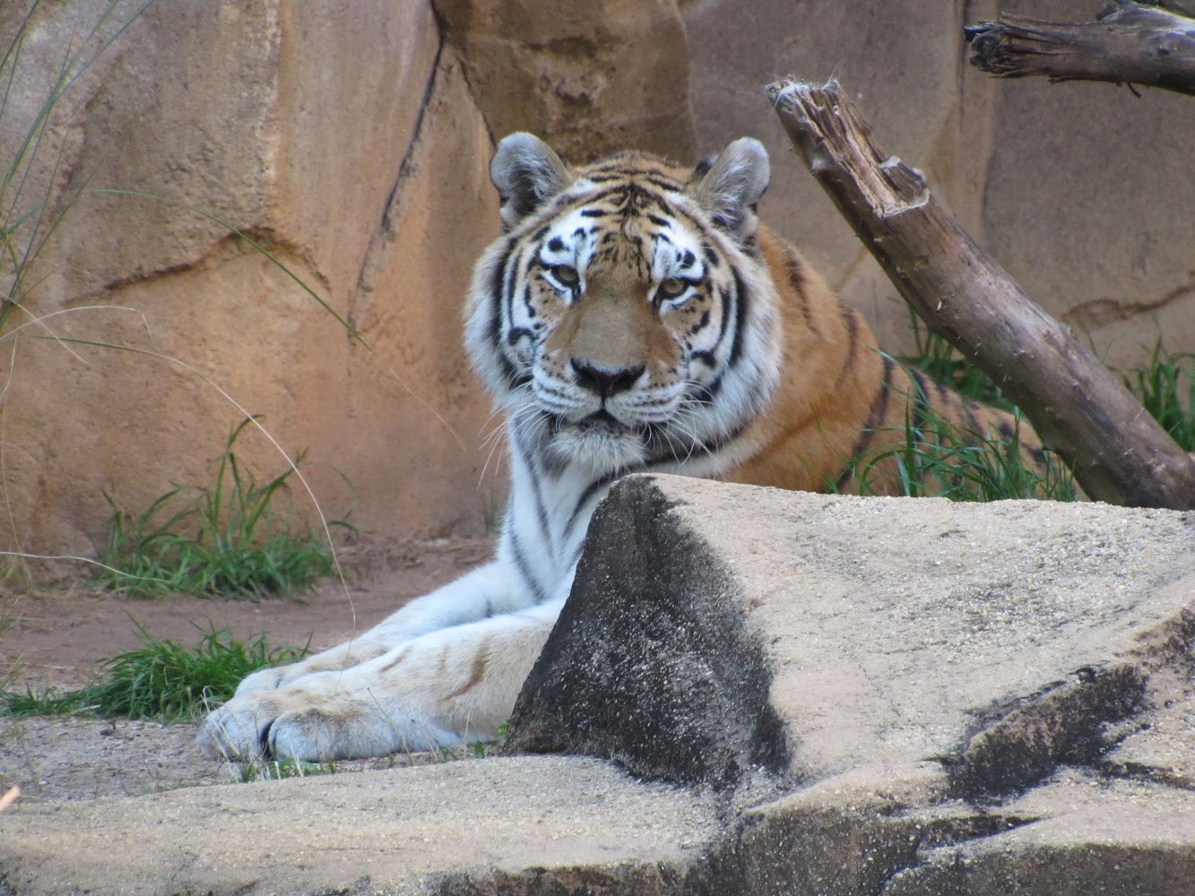
Riverbanks Zoo Columbia, South CarolinaRead Story →
Where It Is Riverbanks Zoo and Garden is a 170-acre wildlife and botanical campus along the Saluda River in Columbia. The zoo cares for animals from around the world while supporting conservation, education and accredited professional standards.
Why It Matters Habitats, keeper talks and close viewing areas make a wide range of animals approachable in one day. The river crossing and connection with the botanical garden also turn the visit into more than a conventional zoo loop.
- Location
- Riverbanks Zoo Columbia, South Carolina
- Adventure
- Road Trip • Walking • Photography
- Photo Date
- Wednesday, Feb 24, 2021
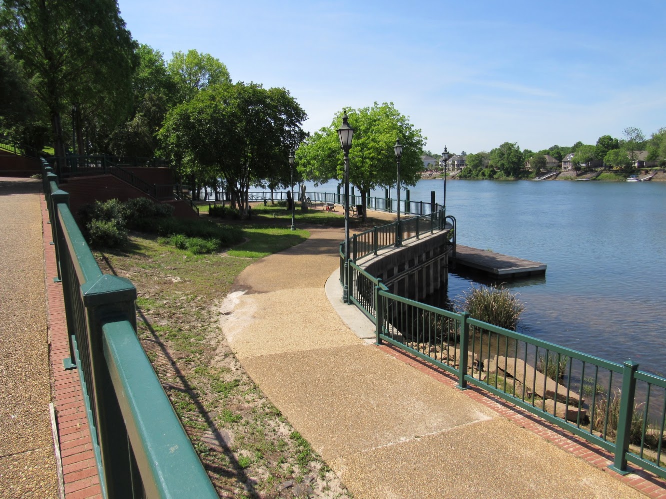
Riverwalk Augusta, GeorgiaRead Story →
Where It Is Augusta Riverwalk follows the Savannah River through downtown Augusta, Georgia. Landscaped paths, plazas and performance spaces sit between the city and the levee, with views across the river toward North Augusta, South Carolina.
Why It Matters The walk connects public art, gardens and historic downtown streets with one of the Southeast's major rivers. Boats, bridges and changing water levels keep the view active even when the path itself is quiet.
- Location
- Riverwalk Augusta, Georgia
- Adventure
- Road Trip • Walking • Photography
- Photo Date
- Tuesday, Apr 27, 2021
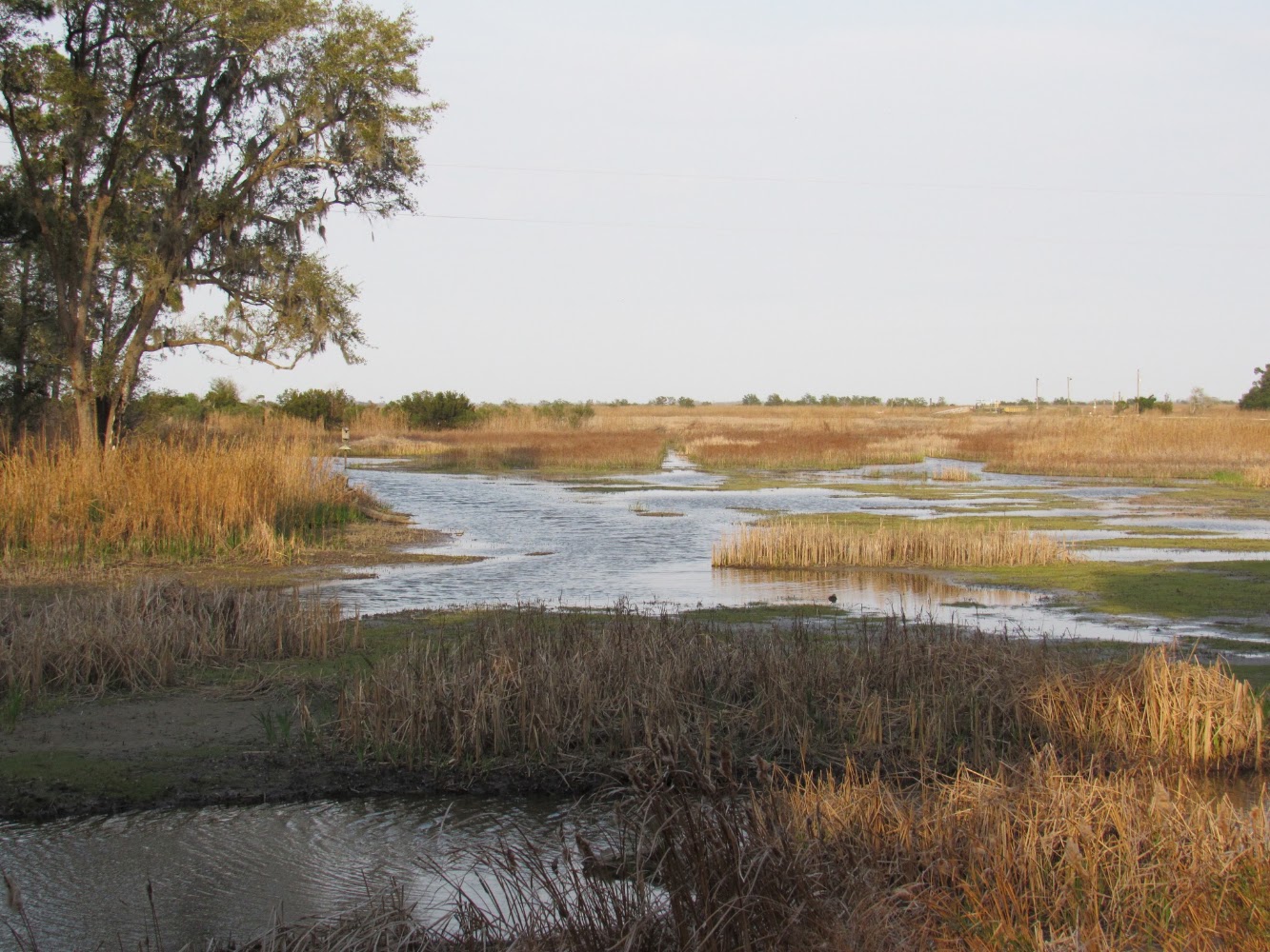
Santee Coastal Reserve McClellanville, South CarolinaRead Story →
Where It Is Santee Coastal Reserve protects former rice fields, maritime forest, freshwater wetlands and salt marsh near the mouth of the Santee River. South Carolina DNR manages this broad Lowcountry landscape for wildlife habitat, research and carefully controlled public recreation.
Why It Matters Dikes and trails carry visitors deep into bird-rich wetlands where alligators, waterfowl and wading birds are common. The reserve's remoteness and seasonal rules make planning important, but also preserve its uncrowded character.
- Location
- Santee Coastal Reserve McClellanville, South Carolina
- Adventure
- Road Trip • Walking • Photography
- Photo Date
- Monday, Mar 15, 2021
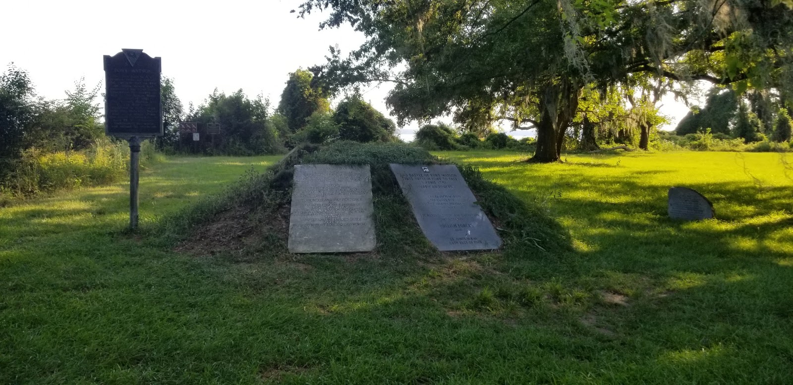
Santee Indian Mound and Fort WatsonRead Story →
Where It Is The Santee Indian Mound at Santee National Wildlife Refuge is a ceremonial mound built by Indigenous people centuries before European settlement. During the Revolutionary War, British troops built Fort Watson on the mound because it overlooked the Santee River corridor.
Why It Matters One small rise holds two very different histories. Interpretive paths explain the mound's much older Indigenous importance and the 1781 Patriot siege, when forces used a tall wooden 'Maham Tower' to fire into the fort.
- Location
- Santee Indian Mound and Fort Watson
- Adventure
- Road Trip • Walking • Photography
- Photo Date
- Sunday, Jul 19, 2020
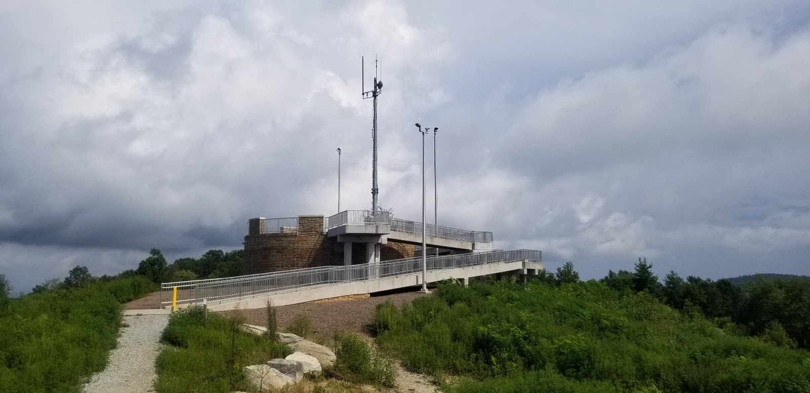
Sassafras Mountain Sunset, South CarolinaRead Story →
Where It Is Sassafras Mountain rises to 3,553 feet on the North Carolina border, making it the highest point in South Carolina. A stone-and-concrete observation platform at the summit provides a 360-degree view across the Blue Ridge.
Why It Matters The paved summit access makes a major mountain panorama available without a long hike. At sunset, ridge after ridge fades into the distance, while interpretive markers help visitors identify peaks and watersheds.
- Location
- Sassafras Mountain Sunset, South Carolina
- Adventure
- Road Trip • Walking • Photography
- Photo Date
- Aug 17, 2020 – Apr 16, 2023
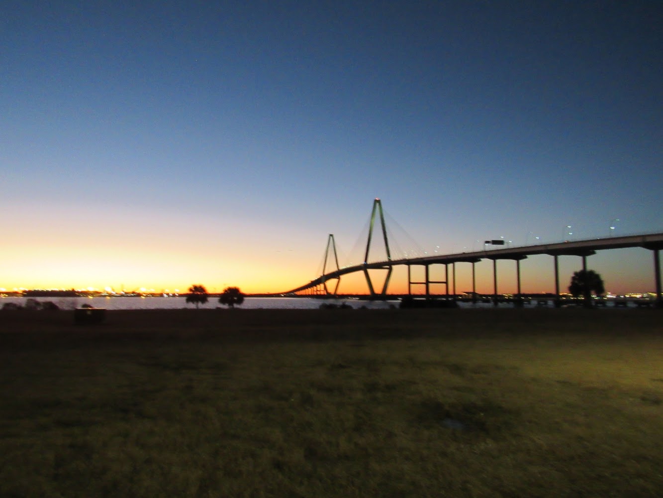
Scenes of Charleston, South CarolinaRead Story →
Where It Is Charleston stands on a peninsula between the Ashley and Cooper rivers, facing one of the South's great natural harbors. Church steeples, pastel houses, ironwork, markets and working waterfronts reflect more than three centuries of growth and change.
Why It Matters The city is best understood through details: worn brick, hidden gardens, porch ceilings, harbor light and streets that reveal both beauty and difficult history. A photo collection can connect famous landmarks with the quieter scenes noticed between them.
- Location
- Scenes of Charleston, South Carolina
- Adventure
- Road Trip • Walking • Photography
- Photo Date
- Apr 24, 2011 – May 27, 2023
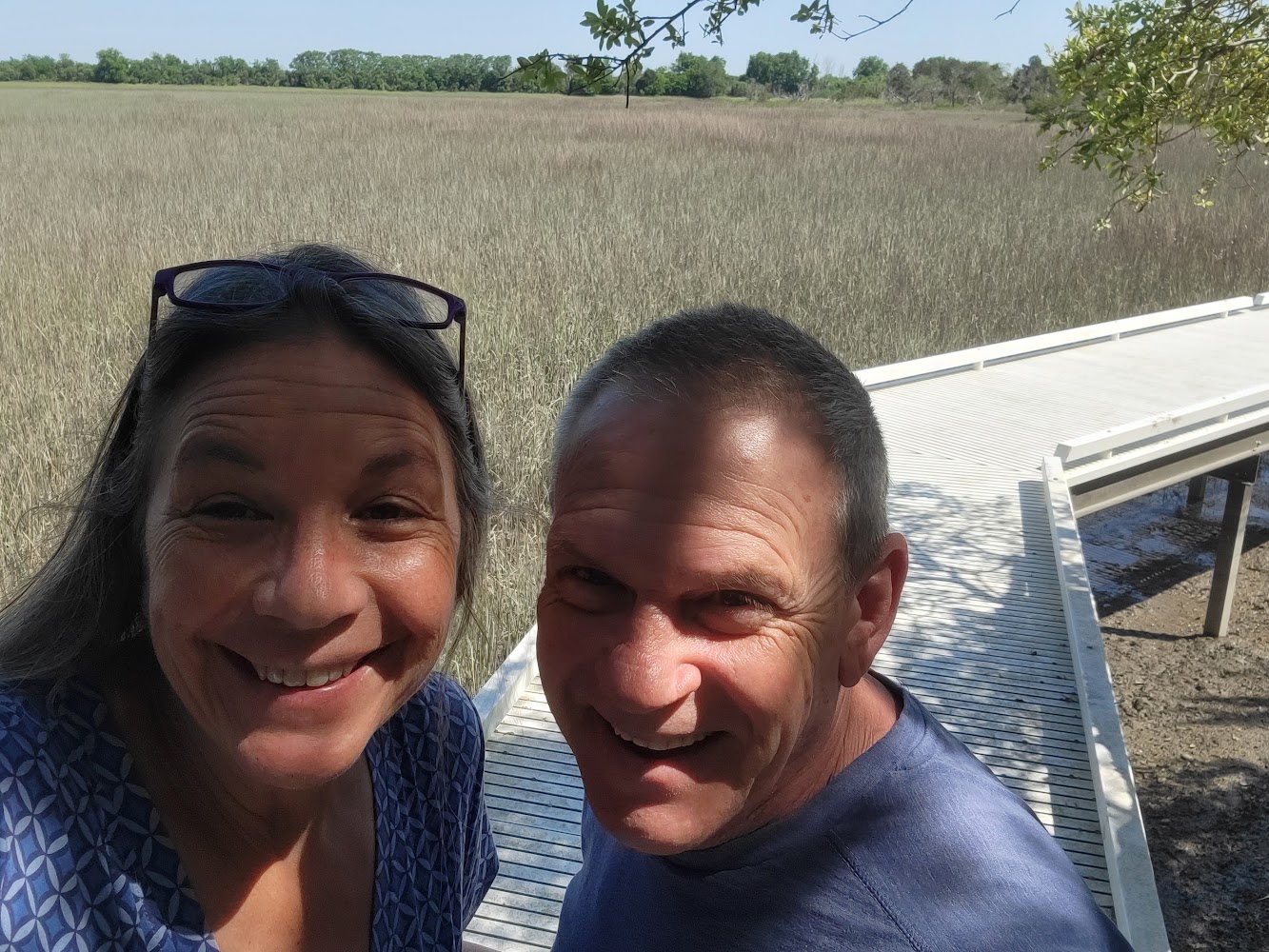
Sewee Shell Ring Park in Awendaw, South CarolinaRead Story →
Where It Is The Sewee Shell Ring near Awendaw is an Indigenous archaeological site formed from oyster shell and other materials thousands of years ago. A forest path and boardwalk lead toward the circular mound beside tidal marsh within the Francis Marion National Forest area.
Why It Matters The quiet ring is easy to overlook, but it represents generations of gathering, foodways and community life long before written local history. Seeing it beside the marsh helps explain why coastal resources drew people here.
- Location
- Sewee Shell Ring Park in Awendaw, South Carolina
- Adventure
- Road Trip • Walking • Photography
- Photo Date
- Nov 17, 2022 – Apr 19, 2023
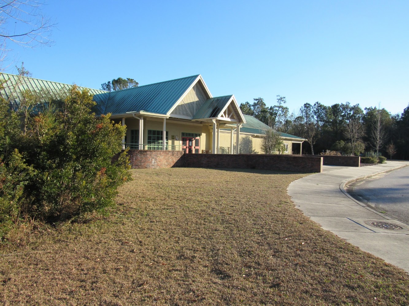
Sewee Visitor Environmental Education Center Awendaw, South CarolinaRead Story →
Where It Is The Sewee Visitor and Environmental Education Center in Awendaw is a cooperative visitor center for Cape Romain National Wildlife Refuge and the Francis Marion National Forest. Exhibits, trails, ponds and educational programs introduce the coastal ecosystems protected nearby.
Why It Matters The center is a useful first stop before exploring the refuge or national forest. Visitors can learn to recognize local habitats and wildlife, and the outdoor areas make the information visible beyond the exhibit room.
- Location
- Sewee Visitor Environmental Education Center Awendaw, South Carolina
- Adventure
- Road Trip • Walking • Photography
- Photo Date
- Nov 19, 2024 – Feb 22, 2025
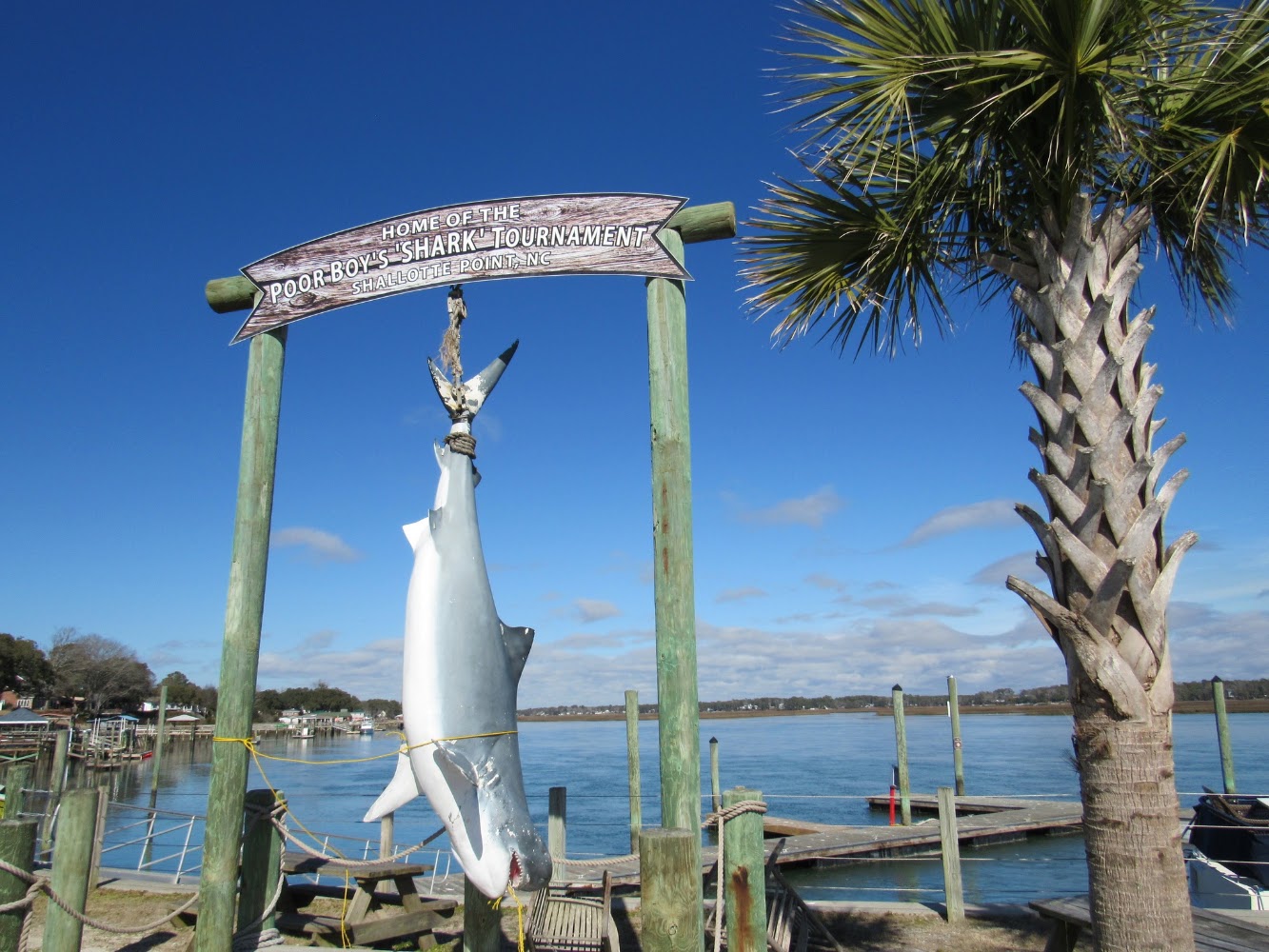
Shallotte North CarolinaRead Story →
Where It Is Shallotte is a Brunswick County town built along the Shallotte River between Wilmington and Myrtle Beach. It serves as a mainland crossroads for Ocean Isle Beach, Holden Beach and Sunset Beach while retaining its own riverfront and local community.
Why It Matters Stopping in Shallotte gives a fuller picture of the Brunswick Islands than the beaches alone. The river, small businesses and nearby wetlands show how mainland towns support life along the barrier islands.
- Location
- Shallotte North Carolina
- Adventure
- Road Trip • Walking • Photography
- Photo Date
- Wednesday, Feb 2, 2022
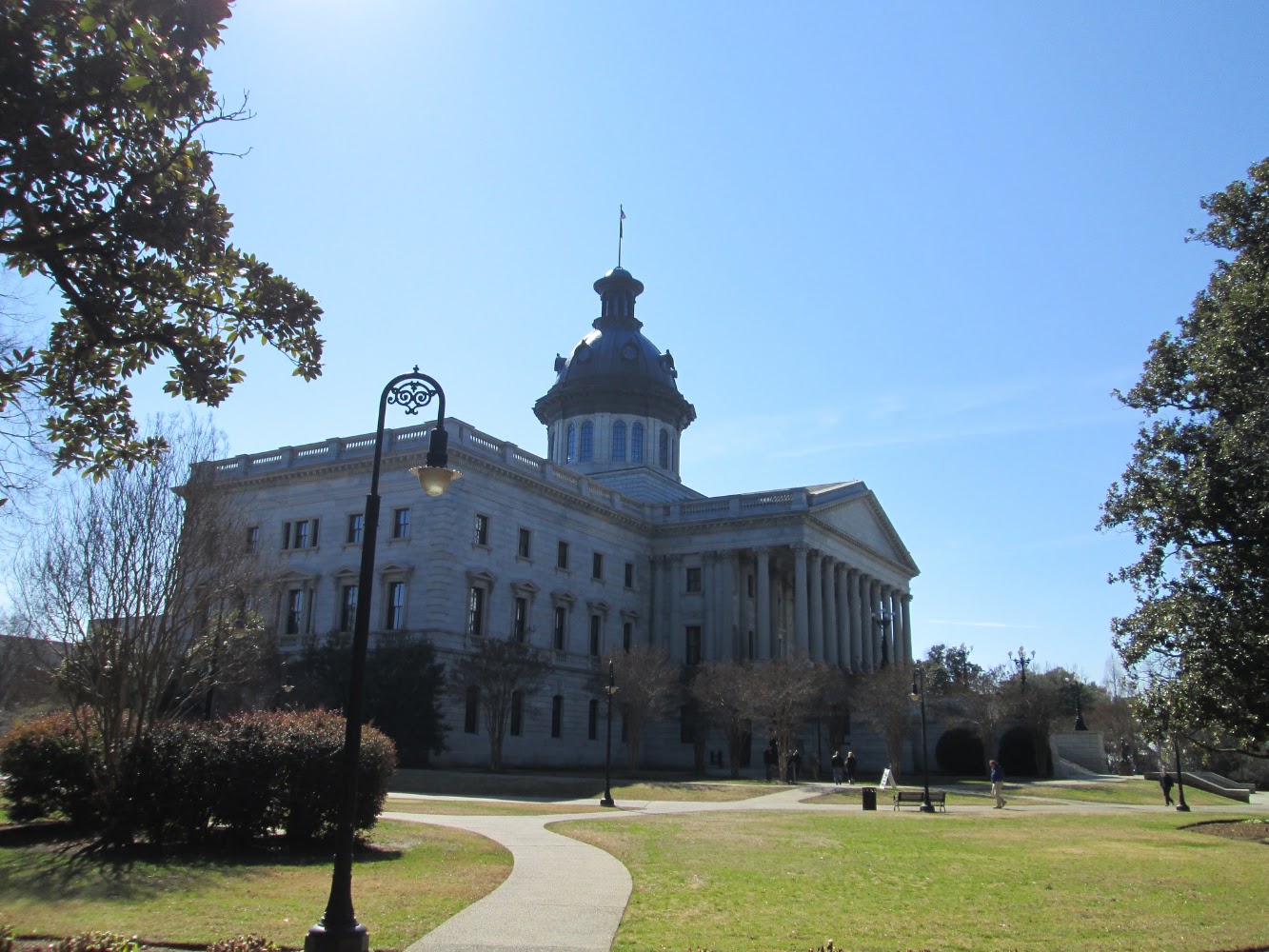
South Carolina State HouseRead Story →
Where It Is The South Carolina State House stands in downtown Columbia and serves as the meeting place of the General Assembly and the governor's ceremonial office. Construction began in 1855, paused during the Civil War and continued for decades afterward.
Why It Matters The building and grounds turn state history into a walkable collection of architecture, monuments and contested memory. Bronze stars on the exterior mark damage from Union artillery during the 1865 capture of Columbia.
- Location
- South Carolina State House
- Adventure
- Road Trip • Walking • Photography
- Photo Date
- Feb 20, 2015 – May 14, 2023
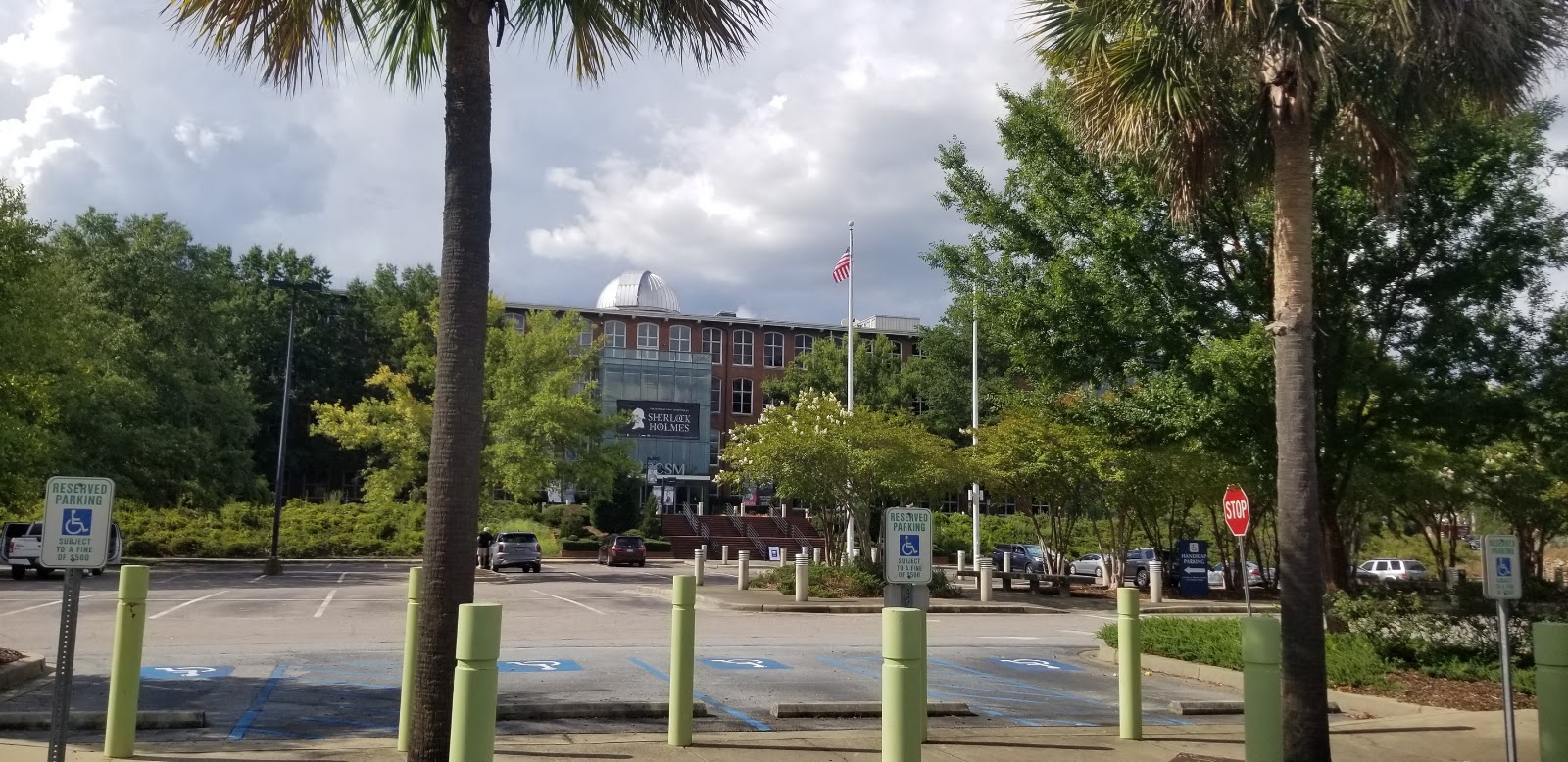
South Carolina State MuseumRead Story →
Where It Is The South Carolina State Museum occupies the enormous former Columbia Mills textile building beside the Congaree River. Four major disciplines—art, cultural history, natural history and science and technology—tell the state's story under one roof.
Why It Matters A single visit can move from fossils and Indigenous history to a historic locomotive, observatory and changing exhibitions. The 1894 mill building is itself one of the museum's largest artifacts.
- Location
- South Carolina State Museum
- Adventure
- Road Trip • Walking • Photography
- Photo Date
- Friday, Jul 24, 2020
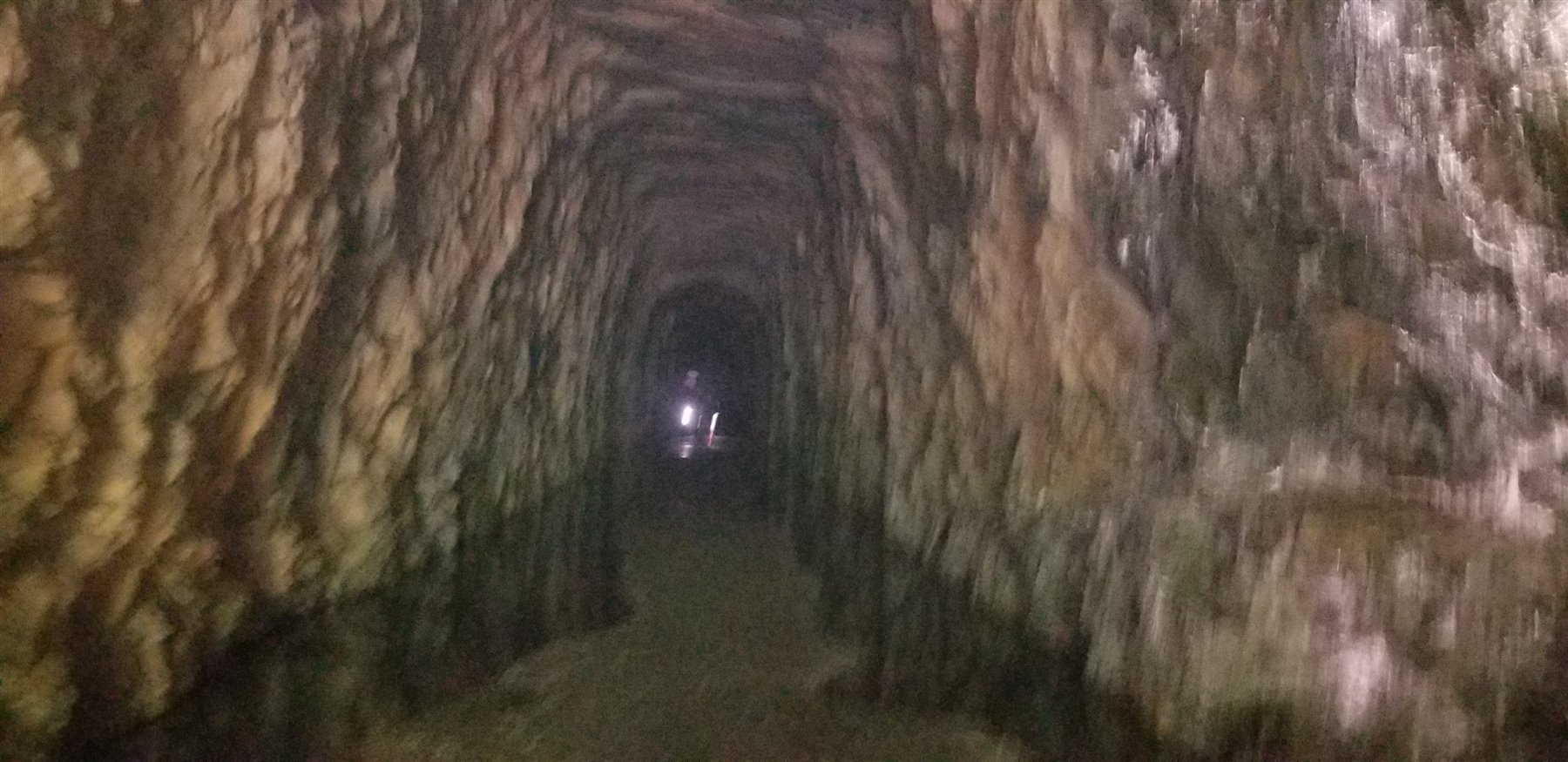
Stumphouse Tunnel & Issaqueena FallsRead Story →
Where It Is Stumphouse Park is near Walhalla in Oconee County, where an unfinished railroad tunnel, Issaqueena Falls, and forest trails share one mountain property.
Why It Matters Step inside an unfinished railroad tunnel, then follow the forest toward Issaqueena Falls for history and nature in the same park.
- Location
- Walhalla • Oconee County
- Adventure
- Tunnel • Waterfall • Trails
- Photo Dates
- 2020–2021
Sullivan’s Island & Charleston HarborRead Story →
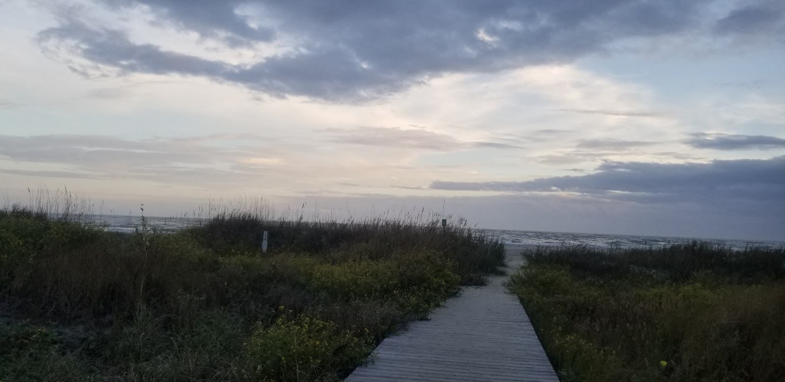
Where It Is Sullivan's Island guards the northern entrance to Charleston Harbor between the Atlantic Ocean and the Intracoastal Waterway. The small island contains beaches, a historic village, Fort Moultrie and a modern triangular lighthouse.
Why It Matters A beach walk can include views of cargo ships, Fort Sumter and the Charleston skyline, while the fort explains why this narrow island mattered militarily. The harbor's constant movement gives the shoreline more to watch than waves alone.
- Location
- Sullivan’s Island & Charleston Harbor
- Adventure
- Port Call • Culture • Waterfront
- Photo Date
- Oct 26, 2019 – Nov 17, 2022
Sunset at Shem CreekRead Story →
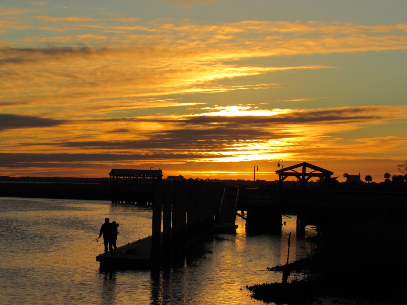
Where It Is Shem Creek is a tidal waterway in Mount Pleasant lined with shrimp boats, docks, restaurants and marsh. A public boardwalk follows part of the creek toward Charleston Harbor, creating an easy place to watch working boats and coastal wildlife.
Why It Matters At sunset, the creek gathers reflections from the sky, boats and waterfront lights. Dolphins, pelicans, kayaks and returning shrimp trawlers can turn a simple evening walk into a constantly changing Lowcountry scene.
- Location
- Sunset at Shem Creek
- Adventure
- Road Trip • Walking • Photography
- Photo Date
- Nov 20, 2020 – Apr 13, 2023
Sunset at The CitadelRead Story →
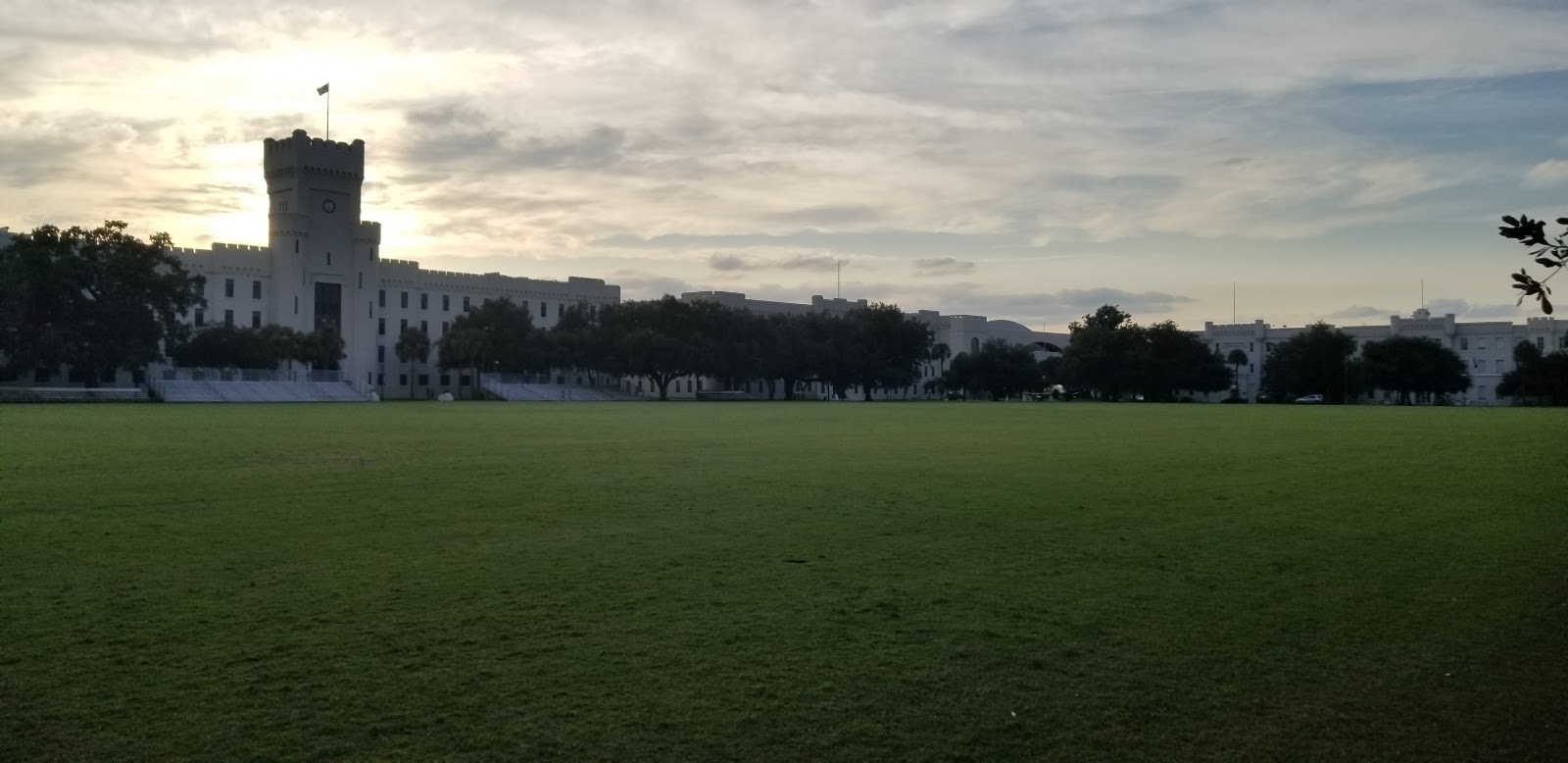
Where It Is The Citadel is South Carolina's military college, located beside the Ashley River in Charleston. Its present campus, occupied since 1922, is recognized by white buildings, red-tile roofs, checkerboard parade ground and fortress-inspired arches.
Why It Matters Sunset softens the formal geometry of the campus and brings color to the parade ground, chapel and river sky. The album can show the institution as a place of architecture and daily cadet life rather than only a name.
- Location
- Sunset at The Citadel
- Adventure
- Road Trip • Walking • Photography
- Photo Date
- Monday, Sep 7, 2020
Sunset Beach / Ocean Isle Beach North CarolinaRead Story →
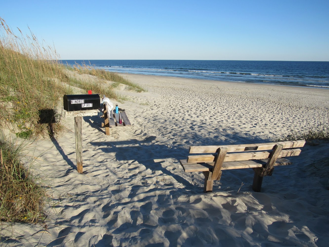
Where It Is Sunset Beach and Ocean Isle Beach are neighboring barrier-island towns in North Carolina's Brunswick Islands. Both face south toward the Atlantic, with tidal creeks and the Intracoastal Waterway separating their beach communities from the mainland.
Why It Matters The two islands invite comparison: Sunset Beach is known for its wide strand and nearby Bird Island, while Ocean Isle centers on its pier, museum and family beach town. Their orientation creates memorable seasonal sunrise and sunset views.
- Location
- Sunset Beach / Ocean Isle Beach North Carolina
- Adventure
- Port Call • Culture • Waterfront
- Photo Date
- Oct 10, 2020 – Oct 19, 2021
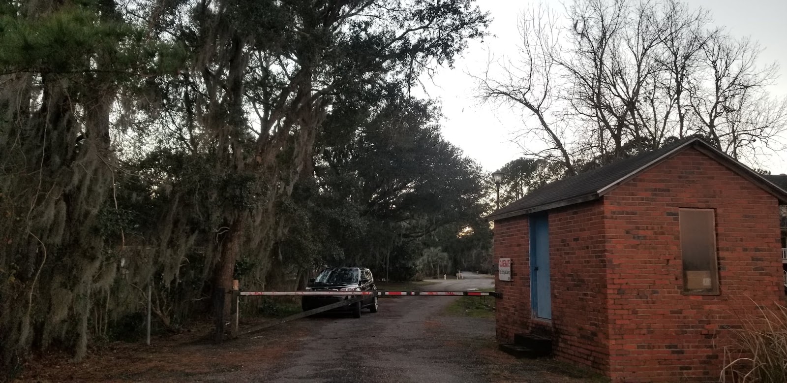
Sunset Wedgefield Plantation Georgetown, South CarolinaRead Story →
Where It Is Wedgefield Plantation lies outside Georgetown in former rice-growing country near the Black River and Winyah Bay watershed. The page records an evening view of a landscape whose beauty must be presented alongside the history of plantation agriculture and enslaved labor.
Why It Matters Sunset can reveal field patterns, water, trees and architecture that are easy to miss in stronger daylight. The photographs offer a starting point for asking how this landscape was built and how its use has changed.
- Location
- Sunset Wedgefield Plantation Georgetown, South Carolina
- Adventure
- Road Trip • Walking • Photography
- Photo Date
- Feb 15, 2021 – Nov 9, 2024
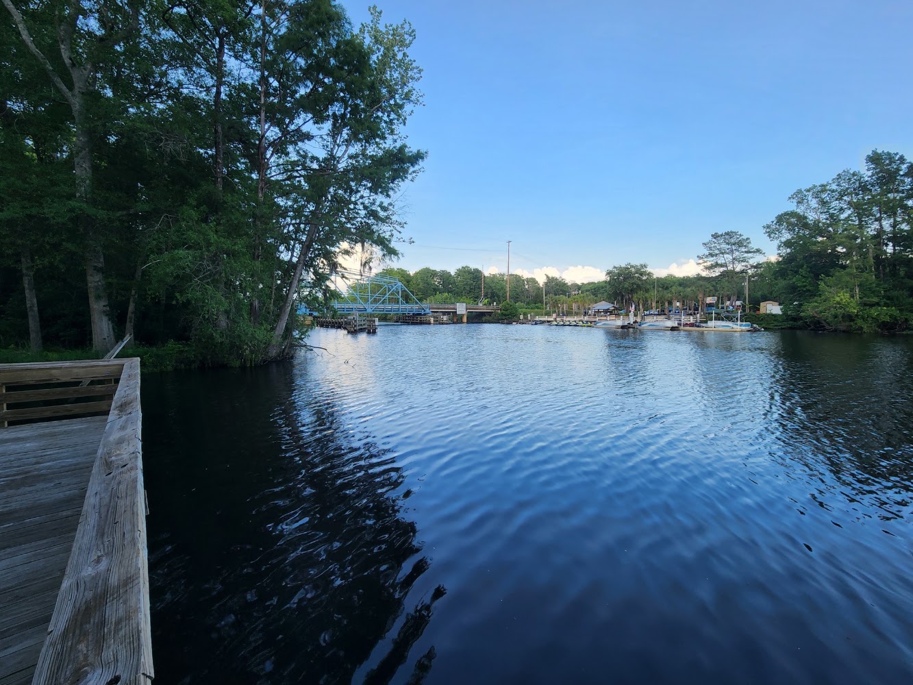
Swing Bridge Park Socastee, South CarolinaRead Story →
Where It Is Socastee's Swing Bridge Park sits beside the Intracoastal Waterway near the historic Socastee swing bridge. The steel bridge's movable center span rotates to allow boats to pass along the waterway.
Why It Matters The park provides a close look at transportation working on both land and water. When the bridge opens, road traffic pauses while the entire center section turns—a small piece of mechanical theater framed by boats and marsh.
- Location
- Swing Bridge Park Socastee, South Carolina
- Adventure
- Road Trip • Walking • Photography
- Photo Date
- Tuesday, May 24, 2022
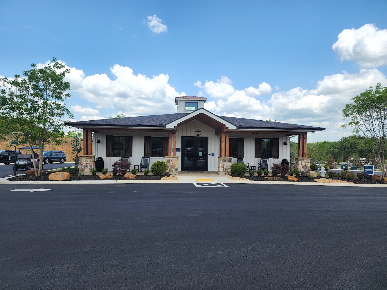
Talona Ridge RV Resort Ellijay, GeorgiaRead Story →
Where It Is Talona Ridge RV Resort is a modern mountainside campground near Ellijay in north Georgia. Terraced RV sites, overlooks and resort amenities are arranged along a ridge above the wooded Appalachian foothills.
Why It Matters The elevation turns the campground itself into a viewpoint, particularly at sunrise and sunset. Its Ellijay location also places visitors near orchards, mountain roads, trails and the rivers of Georgia's apple country.
- Location
- Talona Ridge RV Resort Ellijay, Georgia
- Adventure
- Road Trip • Walking • Photography
- Photo Date
- Mar 21, 2022 – Feb 22, 2025
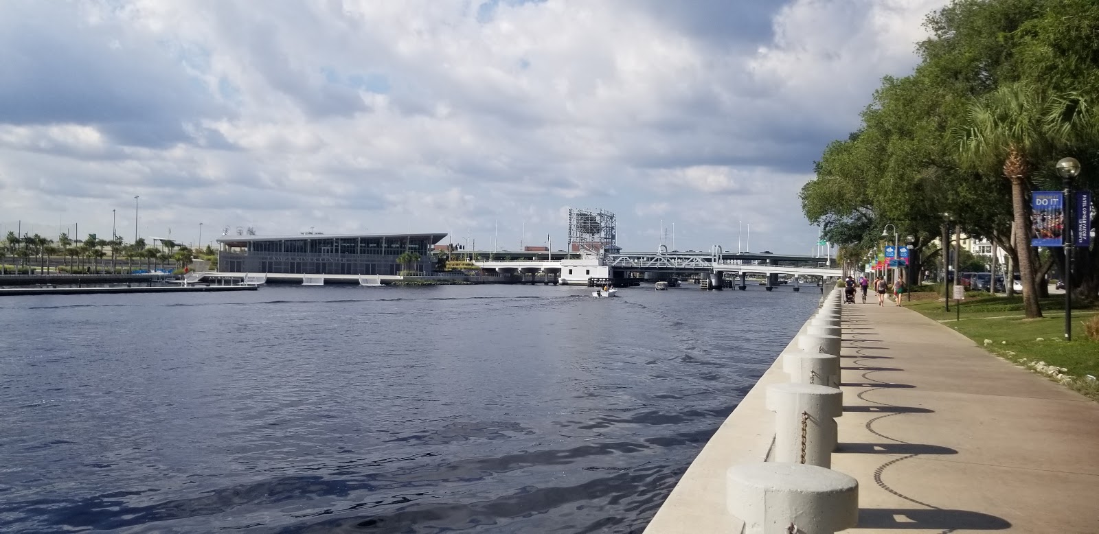
Tampa Riverwalk, FloridaRead Story →
Where It Is The Tampa Riverwalk follows the Hillsborough River through downtown Tampa, linking parks, museums, restaurants and public art. The continuous waterfront path turns former service edges and road crossings into a civic route beside the water.
Why It Matters Walking the Riverwalk reveals Tampa as a river city rather than only a Gulf Coast destination. Bridges, boats, skyline reflections and cultural stops change from one section to the next, with evening lights adding another personality.
- Location
- Tampa Riverwalk, Florida
- Adventure
- Road Trip • Walking • Photography
- Photo Date
- Sep 7 – 8, 2019
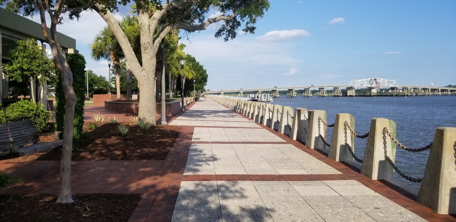
The Henry C. Chambers Waterfront Park Beaufort, South CarolinaRead Story →
Where It Is Henry C. Chambers Waterfront Park stretches along the Beaufort River at the edge of historic downtown Beaufort. Swings, lawns, a promenade and marina views occupy land reclaimed from old waterfront docks and commercial uses.
Why It Matters The park makes the river part of downtown life. Visitors can watch boats, tides and marsh from a swing, then walk directly into Bay Street's historic buildings, galleries and restaurants.
- Location
- The Henry C. Chambers Waterfront Park Beaufort, South Carolina
- Adventure
- Road Trip • Walking • Photography
- Photo Date
- Friday, Jul 10, 2020
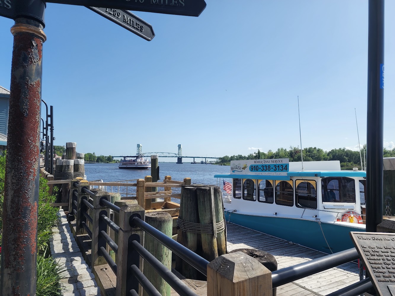
The Riverwalk in Downtown Wilmington, North CarolinaRead Story →
Where It Is Wilmington's Riverwalk follows the east bank of the Cape Fear River through the city's historic downtown. Boardwalks and brick paths pass shops, restaurants, docks and views toward the Battleship North Carolina across the water.
Why It Matters The Riverwalk is a front-row seat to a working river, where tugs, tour boats and large vessels move past historic buildings. Sunset silhouettes the battleship and bridges while downtown lights begin to reflect on the water.
- Location
- The Riverwalk in Downtown Wilmington, North Carolina
- Adventure
- Road Trip • Walking • Photography
- Photo Date
- Thursday, May 26, 2022
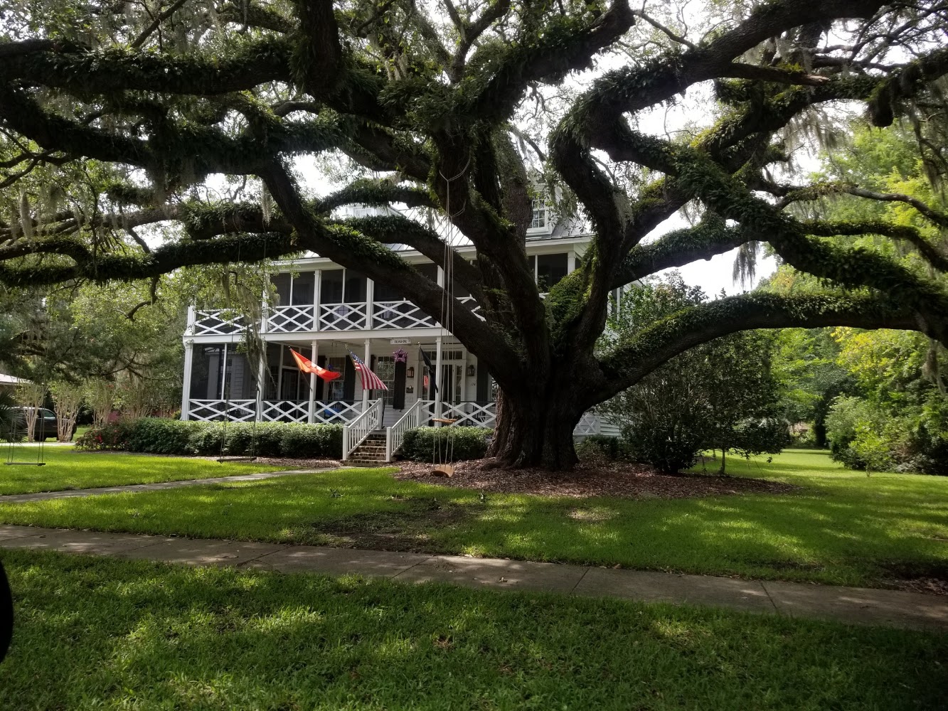
Town of McClellanville, South CarolinaRead Story →
Where It Is McClellanville is a small fishing village on Jeremy Creek between Charleston and Georgetown. Live-oak streets, shrimp boats, historic homes and access to Cape Romain and the Francis Marion National Forest give the town a strong working-coast identity.
Why It Matters The village is best appreciated slowly and respectfully. Boats and docks show that seafood here is an active livelihood, while the museum and quiet streets explain how forests, rivers and the Atlantic have shaped the community.
- Location
- Town of McClellanville, South Carolina
- Adventure
- Road Trip • Walking • Photography
- Photo Date
- Jul 7, 2019 – Jul 15, 2022
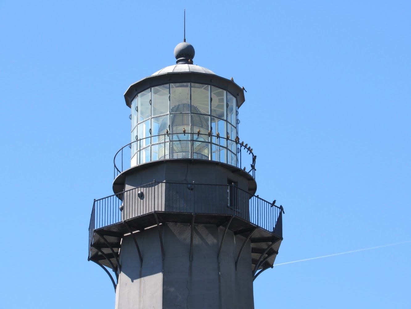
Tybee Island Beach, GeorgiaRead Story →
Where It Is Tybee Island is a barrier-island city east of Savannah at the mouth of the Savannah River. Atlantic beaches, a historic lighthouse, Fort Screven and a working pier make the island both a beach town and a maritime landmark.
Why It Matters Visitors can watch cargo ships approach Savannah, climb the lighthouse or walk the broad beach near the pier. The island's north end feels historic and river-oriented, while the south end carries more of the classic beach-town energy.
- Location
- Tybee Island Beach, Georgia
- Adventure
- Port Call • Culture • Waterfront
- Photo Date
- Tuesday, Mar 9, 2021
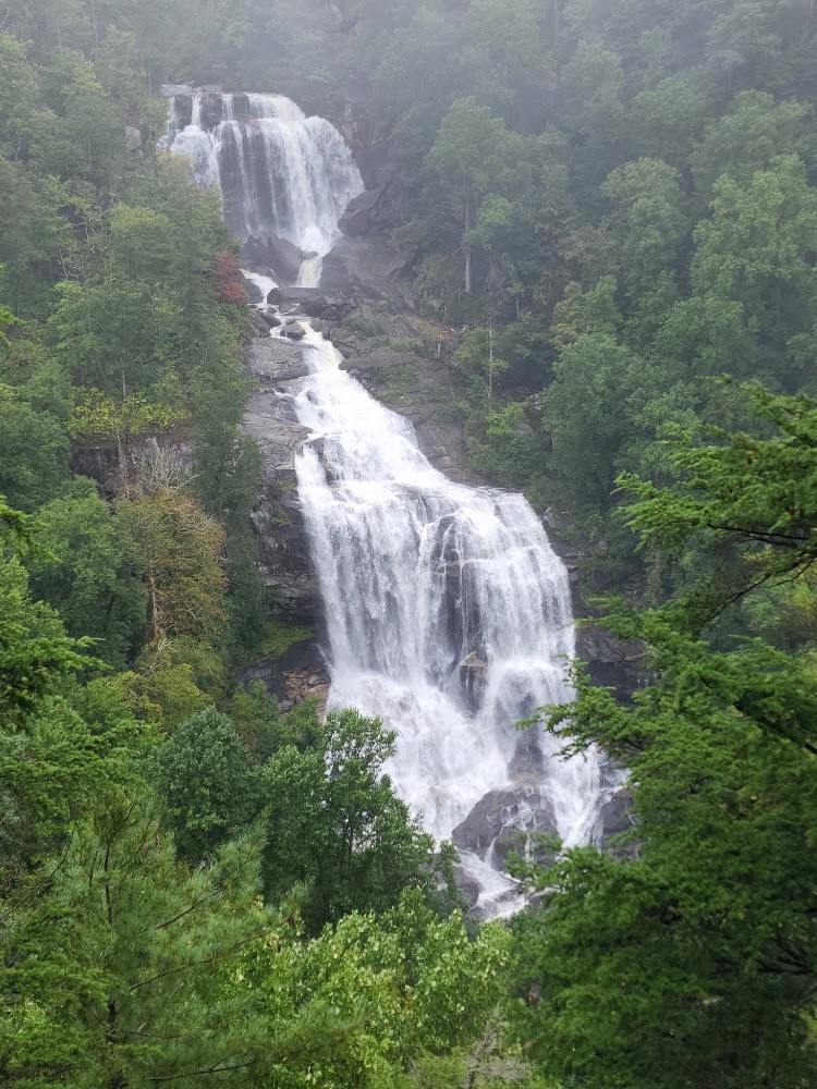
Upstate South Carolina WaterfallsRead Story →
Where It Is South Carolina's Upstate drops from the Blue Ridge Escarpment toward the Piedmont, creating dozens of waterfalls along mountain streams. Some stand beside the road, while others require steep hikes through state parks, national forest and protected heritage lands.
Why It Matters No two falls behave exactly alike. Rock type, rainfall, season and viewing angle change a thin ribbon into a broad cascade, and the trail often reveals wildflowers, forest and smaller falls along the way.
- Location
- Upstate South Carolina Waterfalls
- Adventure
- Road Trip • Walking • Photography
- Photo Date
- Jun 10, 2021 – Sep 13, 2022
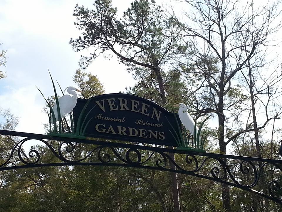
Vereen Memorial Historical GardensRead Story →
Where It Is Vereen Memorial Historical Gardens protects more than 100 acres of woodland and salt marsh in Little River, South Carolina. Trails and wooden boardwalks extend toward the Intracoastal Waterway, passing old trees, tidal creeks and historic family cemetery sites.
Why It Matters The preserve offers a surprisingly quiet walk close to busy coastal roads. At the end of the boardwalk, boats pass along the waterway while birds and fiddler crabs move through the marsh below.
- Location
- Vereen Memorial Historical Gardens
- Adventure
- Road Trip • Walking • Photography
- Photo Date
- Sunday, May 14, 2023
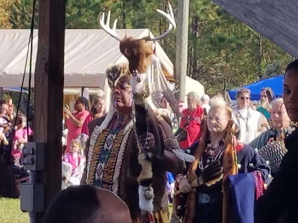
Waccamaw Indian People Cultural Arts Festival & PauwauRead Story →
Where It Is The Waccamaw Indian People Cultural Arts Festival and Pauwau is a community gathering centered on the culture, arts and living traditions of the Waccamaw Indian People of South Carolina. Dancing, drumming, crafts, food and education bring tribal members and visitors together.
Why It Matters The event offers a chance to learn from a living Native community rather than treating Indigenous history as something only in the past. Visitors should follow event guidance, ask before photographing individuals and allow the tribe's own words to lead the interpretation.
- Location
- Waccamaw Indian People Cultural Arts Festival & Pauwau
- Adventure
- Road Trip • Walking • Photography
- Photo Date
- Nov 3, 2019 – May 14, 2023
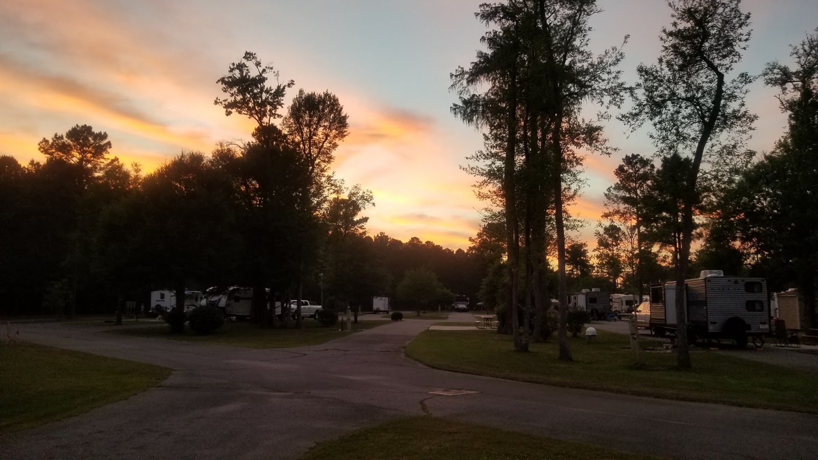
Willow Tree RV Resort & Campground Longs, South CarolinaRead Story →
Where It Is WillowTree RV Resort and Campground is a landscaped camping resort in Longs, South Carolina, built around a freshwater lake. RV sites, cottages, trails and recreation areas provide a quieter inland base within driving distance of the northern Grand Strand.
Why It Matters The lake and willow-lined grounds make the campground feel like part of the trip rather than only a place to park. Photographs of sites, water and amenities can help future visitors understand the space before booking.
- Location
- Willow Tree RV Resort & Campground Longs, South Carolina
- Adventure
- Road Trip • Walking • Photography
- Photo Date
- Wednesday, May 5, 2021

World of Energy at Oconee Nuclear StationRead Story →
Where It Is Duke Energy's World of Energy is a public education center beside Oconee Nuclear Station and Lake Keowee near Seneca. Exhibits explain electricity, nuclear energy, regional history and the natural environment surrounding the plant.
Why It Matters The center gives visitors a rare public look at how a major power station fits into the landscape, without entering the secured plant. Outdoor paths and lake views connect the technical story with the reservoir that supplies cooling water.
- Location
- World of Energy at Oconee Nuclear Station
- Adventure
- Road Trip • Walking • Photography
- Photo Date
- Sep 9, 2022 – Apr 16, 2023
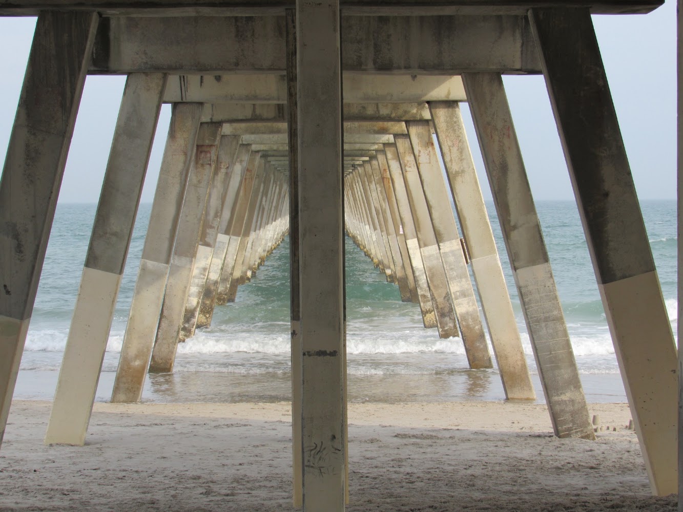
Wrightsville Beach North CarolinaRead Story →
Where It Is Wrightsville Beach is a barrier-island town east of Wilmington, North Carolina, between the Atlantic Ocean and the Intracoastal Waterway. Its wide beach, clear water, boating channels and walkable central loop have made it a coastal recreation destination for generations.
Why It Matters The island works for a beach day, paddle, boat outing or early-morning walk. Johnnie Mercers Pier reaches into the Atlantic, while Banks Channel on the western side offers calmer water and sunset views.
- Location
- Wrightsville Beach North Carolina
- Adventure
- Road Trip • Walking • Photography
- Photo Date
- Saturday, Mar 27, 2021
More Adventures Photo Albums
Every link opens the original photo album in a new tab.
79 album links
Show All Album Covers (79)
2019 Dodge Challenger SXT PlusOriginal R&M Album →Angel OakOriginal R&M Album →Atalaya CastleOriginal R&M Album →Bald Head IslandOriginal R&M Album →Boneyard Beach at Hunting IslandOriginal R&M Album →Botany Bay Heritage PreserveOriginal R&M Album →Buck Hall Recreation AreaOriginal R&M Album →Calabash, Ocean Isle, Southport & Oak IslandOriginal R&M Album →Cape Romain National Wildlife RefugeOriginal R&M Album →Car Show MemoriesOriginal R&M Album →Cashiers, Cherokee & the Blue Ridge ParkwayOriginal R&M Album →Charles Pinckney National Historic SiteOriginal R&M Album →Charleston Tea GardenOriginal R&M Album →City of Halloween: Conway, South CarolinaOriginal R&M Album →Congaree National ParkOriginal R&M Album →Cypress GardensOriginal R&M Album →Daufuskie Island & the Hilton Head AreaOriginal R&M Album →Early Morning Sunrise Paddleboarding Surfside Beach, South CarolinaView Original Photos →Exploring Savannah, GeorgiaView Original Photos →Falls Park on the Reedy Greenville, South CarolinaView Original Photos →Fort Fisher Ferry, Southport & Oak IslandView Original Photos →Fort Moultrie — Sullivan’s IslandView Original Photos →Fort Pulaski National Monument Savannah, GeorgiaView Original Photos →Heritage Shores Nature Preserve North Myrtle Beach, South CarolinaView Original Photos →Historic Georgetown, South CarolinaView Original Photos →Holden Beach North CarolinaView Original Photos →Home in Conway, South CarolinaView Original Photos →Horry County Museum Conway, South CarolinaView Original Photos →Lake City Community Park Lake City, South CarolinaView Original Photos →Lake Hartwell Dam — Georgia–South Carolina BorderView Original Photos →Lake Waccamaw State Park Lake Waccamaw, North CarolinaView Original Photos →Las Vegas, NevadaView Original Photos →Long Shoals Wayside Park, Sunset, South CarolinaView Original Photos →Lynches River County ParkView Original Photos →Mount Pleasant Memorial Waterfront ParkView Original Photos →Myrtle Beach Art MuseumView Original Photos →Nikole's Science ProjectView Original Photos →Nintendo Wii Games: Summer 2010View Original Photos →November Paddleboarding at Pitch LandingView Original Photos →Oak Island Beach, North CarolinaView Original Photos →Old-School Gatlinburg & the Smoky MountainsView Original Photos →Outer Banks Road TripOriginal R&M Album →Patriots vs. Panthers at Bank of America StadiumOriginal R&M Album →Pitt St. Bridge Mount Pleasant, South CarolinaView Original Photos →Plantersville Scenic BywayAlbum 1: SC. Scenic Byway Plantersville, South Carolina →Plantersville Scenic BywayAlbum 2: Scenic State Byway Plantersville, South Carolina →Port Royal Boardwalk & Observation TowerOriginal R&M Album →Pretty Place Chapel & Bald RockOriginal R&M Album →Riverbanks Botanical Gardens Columbia, South CarolinaView Original Photos →Riverbanks Zoo Columbia, South CarolinaView Original Photos →Riverwalk Augusta, GeorgiaView Original Photos →Santee Coastal Reserve McClellanville, South CarolinaView Original Photos →Santee Indian Mound and Fort WatsonView Original Photos →Sassafras Mountain Sunset, South CarolinaView Original Photos →Scenes of Charleston, South CarolinaView Original Photos →Sewee Shell Ring Park in Awendaw, South CarolinaView Original Photos →Sewee Visitor Environmental Education Center Awendaw, South CarolinaView Original Photos →Shallotte North CarolinaView Original Photos →South Carolina State HouseView Original Photos →South Carolina State MuseumView Original Photos →Stumphouse Tunnel & Issaqueena FallsOriginal R&M Album →Sullivan’s Island & Charleston HarborView Original Photos →Sunset at Shem CreekView Original Photos →Sunset at The CitadelView Original Photos →Sunset Beach / Ocean Isle Beach North CarolinaView Original Photos →Sunset Wedgefield Plantation Georgetown, South CarolinaView Original Photos →Swing Bridge Park Socastee, South CarolinaView Original Photos →Talona Ridge RV Resort Ellijay, GeorgiaView Original Photos →Tampa Riverwalk, FloridaView Original Photos →The Henry C. Chambers Waterfront Park Beaufort, South CarolinaView Original Photos →The Riverwalk in Downtown Wilmington, North CarolinaView Original Photos →Town of McClellanville, South CarolinaView Original Photos →Tybee Island Beach, GeorgiaView Original Photos →Upstate South Carolina WaterfallsView Original Photos →Vereen Memorial Historical GardensView Original Photos →Waccamaw Indian People Cultural Arts Festival & PauwauView Original Photos →Willow Tree RV Resort & Campground Longs, South CarolinaView Original Photos →World of Energy at Oconee Nuclear StationView Original Photos →Wrightsville Beach North CarolinaView Original Photos →